


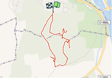

15.3 km | 17.6 km-effort


User


FREE GPS app for hiking
 SityTrail
IGN / Geographical institutes
SityTrail World
The world is yours!
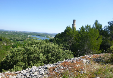
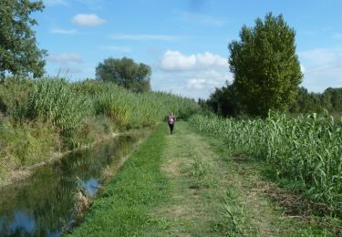
Trail Walking of 5 km to be discovered at Occitania, Gard, Comps. This trail is proposed by Amaralain.
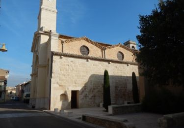
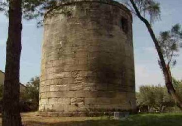
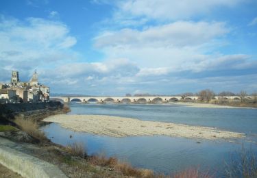
Départ de l'Aqueduc de COMPS - visite de l'Abbaye (5,5 €) - visite du mont de l'Aiguille
Walking
Walking

Walking

Walking
Hybrid bike

Walking
Cycle
Mountain bike
Un logiciel de plus en plus performant