


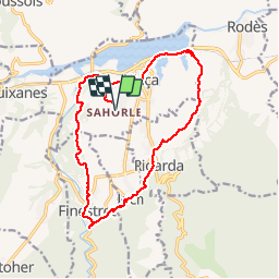

15.9 km | 23 km-effort


User


FREE GPS app for hiking
 SityTrail
IGN / Geographical institutes
SityTrail World
The world is yours!
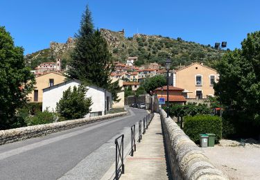
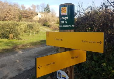
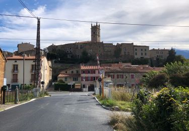
Trail Mountain bike of 17 km to be discovered at Occitania, Pyrénées-Orientales, Vinça. This trail is proposed by micleo66.
Erreur sur la fin !
Walking
Walking
Walking
Walking
Walking
Walking
Walking
Walking
Walking
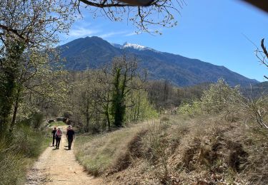
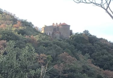
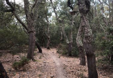
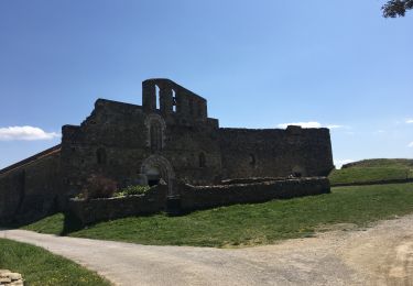
super beau vue sur le canigou et traversée de cinq villages (fontaine, lavoir, ruisseau, chapelle, forêt, etc..)