


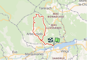


17 km | 22 km-effort


User


FREE GPS app for hiking
 SityTrail
IGN / Geographical institutes
SityTrail World
The world is yours!
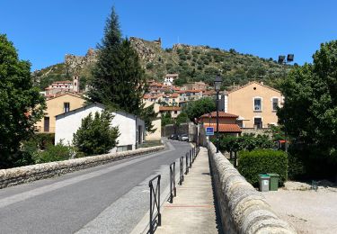
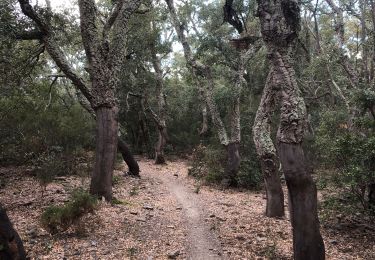
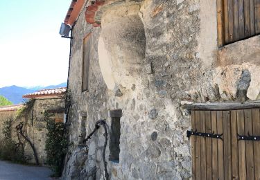
Trail Walking of 15.9 km to be discovered at Occitania, Pyrénées-Orientales, Arboussols. This trail is proposed by francineposkin.
Belle Rando


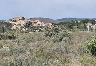
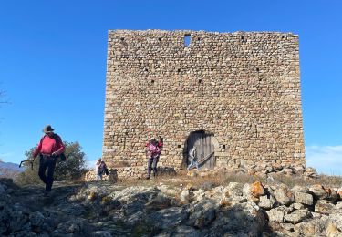
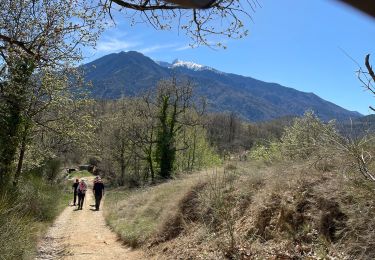
47 photos in total. Please click on a photo to see them all in the gallery.

Mountain bike
Walking
Walking
Walking

Walking

Walking
Walking
Walking
Walking