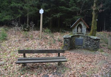
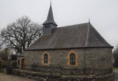
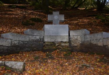
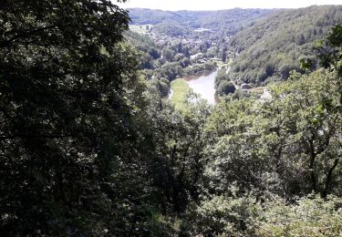
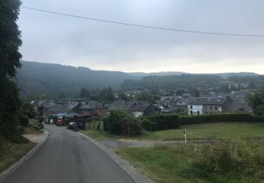
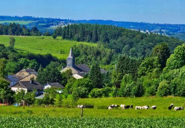
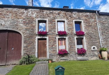
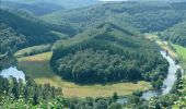
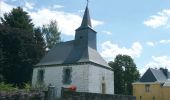
Trail Walking Bouillon - RB-Lu-12 - Premier contact avec la Semois au Tombeau du Géant - Photo

RB-Lu-12 - Premier contact avec la Semois au Tombeau du Géant

Randonnez sur et autour des GR ® wallons (Sentiers de Grande Randonnée). PRO

© OpenStreetMap contributors
Length
Length
19.1 km
Max alt
Max alt
431 m
Uphill gradient
Uphill gradient
592 m
Km-Effort
Km-Effort  
27 km
Min alt
Min alt
235 m
Downhill gradient
Downhill gradient
592 m
Boucle
Boucle
Yes
Creation date :
2019-08-07 07:27:22.924
Updated on :
2024-04-10 07:31:48.607

(6 Reviews)

Walking
Walking
6h07
Difficulty : Very difficult

Scan this QR Code to open this trail in the SityTrail application

FREE GPS app for hiking

Logo SityTrail SityTrail

IGN / Geographical institutes

Download SityTrail from the App Store Download SityTrail from Google Play

Logo SityTrail SityTrail World

The world is yours!

Download SityTrail from the App Store Download SityTrail from Google Play Download SityTrail on Huawei AppGallery

About

Trail Walking of 19.1 km to be discovered at Wallonia, Luxembourg, Bouillon. This trail is proposed by GR Rando.

Description

Vivy, Ucimont, Botassart, Sensenruth, Mogimont, Vivy

Cartographie et documentation
Cartes IGN au 1 : 20 000, 64/5-6 « Rochehaut – Paliseul » et 67/1-2 « Bouillon –
Dohan ».
Carte IGN des promenades du Grand Bouillon – S.I. de Bouillon, Corbion, Moyenne

Semois, Poupehan, Rochehaut, Tombeau du Géant. Carte éditée par l’Association touristique « Semois et Vierre » en collaboration avec les « Eaux et Forêts ».

Topo-guide du GR 16 « Sentier de la Semois » (parution en 2009).

Topo-guide du GR 14 « Sentier de l’Ardenne ».

Où se désaltérer et se restaurer

À Ucimont : un restaurant et un hôtel–restaurant. Buvette (ouverte en saison seulement) au site du

« Tombeau du Géant ». Au village de Botassart : cafés, pension et restaurants.

Photos

Points of interest

Point of interest Bouillon - Unnamed POI - Photo
GR Rando
BOUILLON 
Point of interest Bouillon - Unnamed POI - Photo
GR Rando
BOUILLON 
Point of interest Bouillon - Unnamed POI - Photo
GR Rando
BOUILLON 
Point of interest Bouillon - Unnamed POI - Photo
GR Rando
BOUILLON 
Point of interest Bouillon - Unnamed POI - Photo
GR Rando
BOUILLON 

Positioning

Country:
Belgium
Region :
Wallonia
Department/Province :
Luxembourg
Municipality :
Bouillon
Location:
Unknown
Start:(UTM)
646502 ; 5525835 (31U) N.

Comments

Please log in to post a review or rate the element


Très belle randonnée mais le chemin est parfois difficilement praticable tellement la végétation est dense.


Très belle rando. Félicitations à son créateur.


Très belle rando! Les sentiers au début de la rando sont très 'sauvages'. Y avons rencontré plusieurs hardes de sangliers...


Trails nearby

Trail Walking Bièvre - RB-Na-31-Un pays d’étangs et de pépinières - Photo
Walking
PRO

Walking

Very difficult
(5)
Bièvre, Wallonia, Namur, Belgium
21 km | 27 km-effort
6h 14min
Yes
Trail Walking Vresse-sur-Semois - Rb-Na-32-Racc_Sur-les-rampes-escarpées-de-la-vallée-de-la-Semois - Photo
Walking
PRO

Walking

Very difficult
(2)
Vresse-sur-Semois, Wallonia, Namur, Belgium
14.7 km | 23 km-effort
5h 14min
Yes
Trail Walking Vresse-sur-Semois - Rb-Na-32_Sur les rampes escarpées de la vallée de la Semois - Photo
Walking
PRO

Walking

Very difficult
(2)
Vresse-sur-Semois, Wallonia, Namur, Belgium
19.8 km | 31 km-effort
7h 5min
Yes
Trail Walking Bièvre - RB-Na-31-Racc_Un-pays-d’étangs-et-de-pépinières - Photo
Walking
PRO

Walking

Very difficult
(2)
Bièvre, Wallonia, Namur, Belgium
16.1 km | 21 km-effort
4h 49min
Yes
Trail Walking Bouillon - rochehaut 180620 - Photo
Walking
guyernage25

Walking

Difficult
(1)
Bouillon, Wallonia, Luxembourg, Belgium
20 km | 31 km-effort
5h 1min
Yes
Trail Walking Vresse-sur-Semois - Alle - Mouzaive - Photo
Walking
mavbelgium

Walking

Medium
(1)
Vresse-sur-Semois, Wallonia, Namur, Belgium
5.6 km | 8.1 km-effort
1h 45min
Yes
Trail Mountain bike Vresse-sur-Semois - Circuit des hauts quartiers - Photo
Mountain bike
GUIDE+

Mountain bike

Easy
Vresse-sur-Semois, Wallonia, Namur, Belgium
8.9 km | 12.4 km-effort
51min
Yes
Trail On foot Vresse-sur-Semois - Cornimont - Photo
On foot
GUIDE+

On foot

Easy
Vresse-sur-Semois, Wallonia, Namur, Belgium
7.9 km | 11.5 km-effort
2h 37min
Yes
Trail On foot Vresse-sur-Semois - Pic de la girouette - Photo
On foot
GUIDE+

On foot

Easy
(1)
Vresse-sur-Semois, Wallonia, Namur, Belgium
4 km | 5.6 km-effort
1h 16min
Yes


Close
My subscriptions