


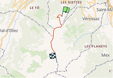

14.3 km | 17.1 km-effort


User


FREE GPS app for hiking
 SityTrail
IGN / Geographical institutes
SityTrail World
The world is yours!
Trail Other activity of 5.5 km to be discovered at Valais/Wallis, Monthey, Monthey. This trail is proposed by Romrando.
Source:geocities.com/romrando
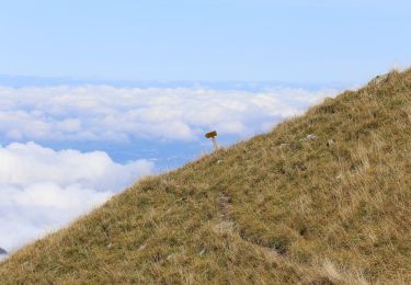
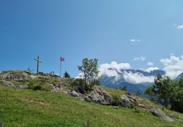
Randonnée d''arête remarquable. Décor lunaire au refuge.
En voiture de Monthey on gagne Choex puis l''alpage de "Chindonne" au pied de la Dent de Valerette. (Parking).
Par le sentier vers l''ouest sur 300 m puis directement vers le Sud à la Dent de Valerette.
Par l''arête on gagne la Dent de Valère que l''on franchit directement par un raide sentier facile. Continuer par la crête du Dardeu puis par un sentier sur un terrain lunaire on gagne le refuge de Chalin. Passer la nuit à cet endroit (huit places, se renseigner) vous assure d''une ambiance hors du temps.
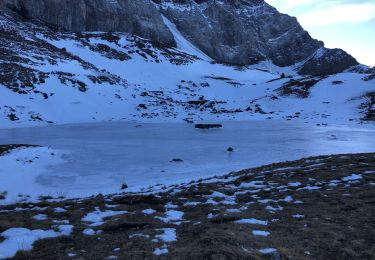
Retour en contournant la Dent de Valère par l''ouest puis par les flancs ou enchaîner le Tour des Dents du Midi. Accès au refuge exclu par terrain enneigé.
On foot

Walking
On foot
Walking
Walking

sport
Walking

Mountain bike
Walking