


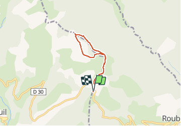

4.3 km | 6.6 km-effort


User


FREE GPS app for hiking
 SityTrail
IGN / Geographical institutes
SityTrail World
The world is yours!
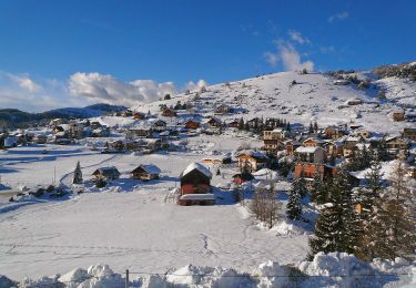
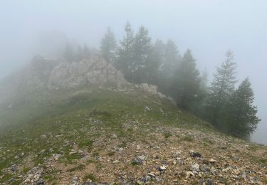
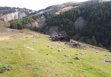
Trail Snowshoes of 5 km to be discovered at Provence-Alpes-Côte d'Azur, Maritime Alps, Roubion. This trail is proposed by evdm.
Petite ballade sympa en raquettes. Superbes vues par beau temps.

Snowshoes
On foot

On foot

Walking
Walking
Walking
Walking
Walking
Walking
Balade sympa
Petite promenade à raquettes sympa!