


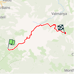

11.5 km | 21 km-effort


User


FREE GPS app for hiking
 SityTrail
IGN / Geographical institutes
SityTrail World
The world is yours!
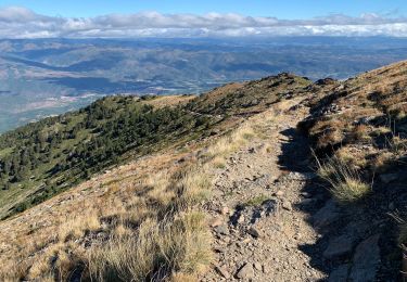
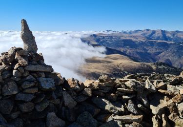
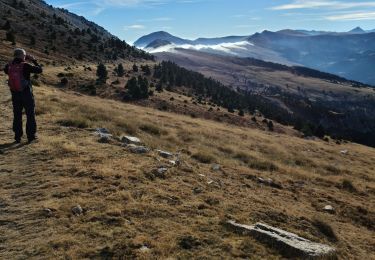
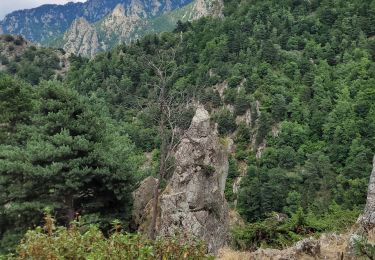
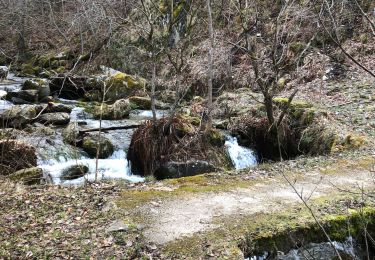
Trail Walking of 18.5 km to be discovered at Occitania, Pyrénées-Orientales, Py. This trail is proposed by arremoulit.
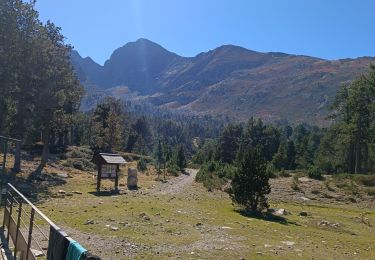
erreur de parcours au porteille de leca . le ravin est un vrai ravin!!!!!, prendre le roc negre si le temps le permet. ce n'était pas le cas pour nous.
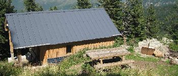
L'accueil au refuge de batère est vraiment exellent.


Walking
Walking
Walking
Walking
Walking
Walking
Walking
Walking
Walking