


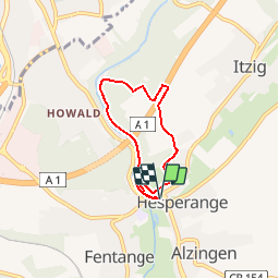


15.6 km | 21 km-effort


Randonnées de Visit Luxembourg. GUIDE+


FREE GPS app for hiking
 SityTrail
IGN / Geographical institutes
SityTrail World
The world is yours!
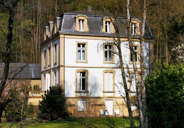
Trail Walking of 4.9 km to be discovered at Unknown, Canton Luxembourg, Hesperange. This trail is proposed by Visit Luxembourg.

Walking
On foot
On foot

On foot
On foot

On foot
On foot

Walking

Walking