


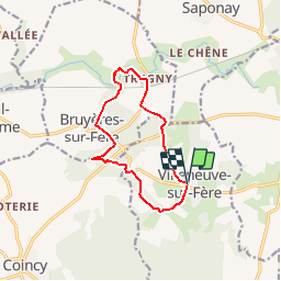


10.1 km | 12.6 km-effort
Randonnées de RandoFamili


FREE GPS app for hiking
 SityTrail
IGN / Geographical institutes
SityTrail World
The world is yours!
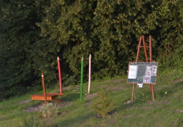
Trail Walking of 10.1 km to be discovered at Hauts-de-France, Aisne, Villeneuve-sur-Fère. This trail is proposed by Rando Famili.
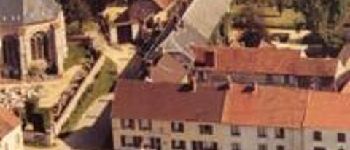
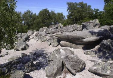
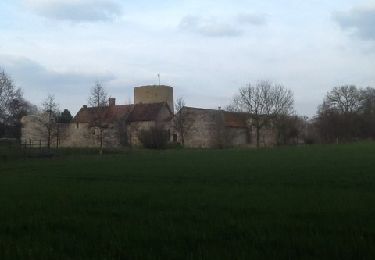
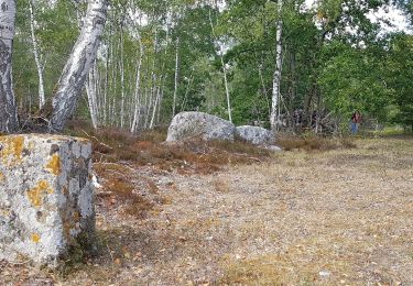
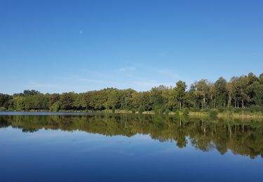
Avec leurs églises bien proportionnées, Villeneuve et Bruyères sont d'élégants villages situés de part et d'autre de l'Ourcq. Au départ de la maison familiale des Claudel, cette boucle descend aux ruines du Val-Chrétien, ancienne abbaye de l'ordre des Prémontrés (site privé), et s'approche du chaos rocheux de la Hottée du Diable.

Walking

Walking

Walking
Walking
Walking
Walking
Mountain bike
Mountain bike
Mountain bike