


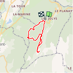

11.1 km | 17.4 km-effort

User


FREE GPS app for hiking
 SityTrail
IGN / Geographical institutes
SityTrail World
The world is yours!
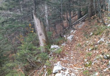
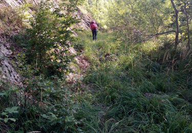
Trail Walking of 11.9 km to be discovered at Auvergne-Rhône-Alpes, Isère, Saint-Christophe-sur-Guiers. This trail is proposed by bruno.saget.
Sentier raquette rouge (3) au début jusqu au col de l Allienard. Puis sentier raquette bleu (2) pour retour, sans passer par le col de la Ruchere.
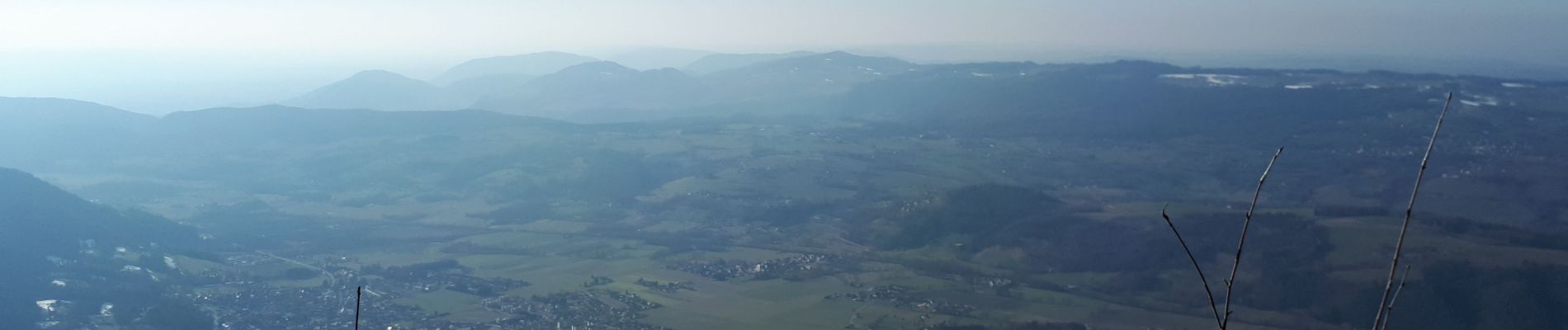
Magnifique vues sur Grand Som et Petit Som. Pas besoin de raquettes car neige tassée.


Snowshoes

Walking

Walking

Walking

Walking
Walking
Walking
Walking
Walking