


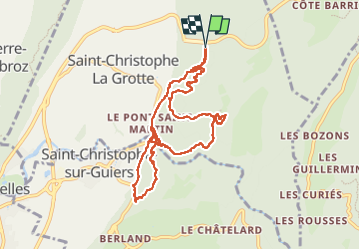

11.1 km | 17.4 km-effort

User


FREE GPS app for hiking
 SityTrail
IGN / Geographical institutes
SityTrail World
The world is yours!
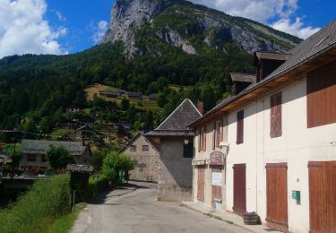
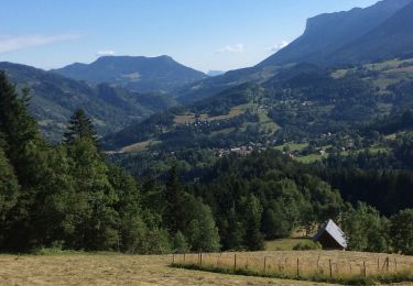
Trail Walking of 9.7 km to be discovered at Auvergne-Rhône-Alpes, Savoy, Saint-Christophe. This trail is proposed by mzonzon05.
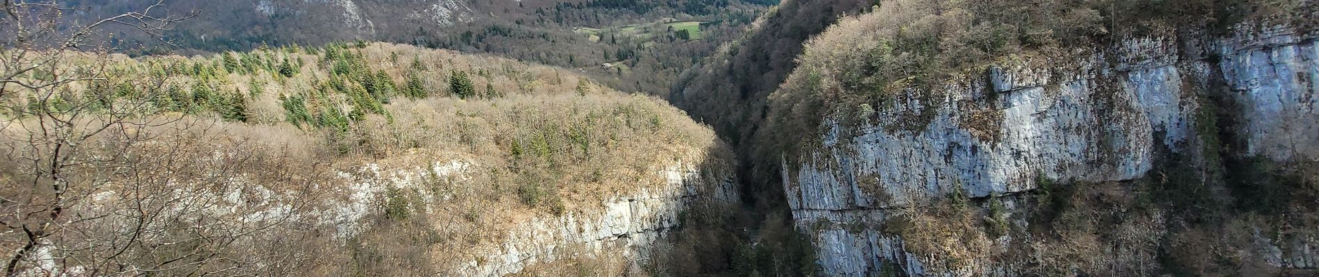
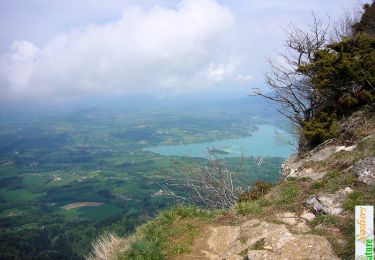
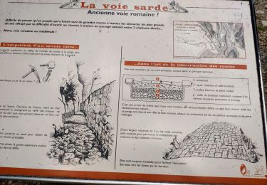
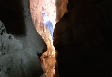
Jolie boucle au frais le long du Guirrs Vif parfois, alternant bon sentiers forestiers et sentiers de chèvres 🐐.
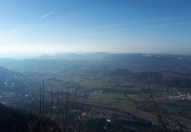
Certainement un bon terrain de jeu pour ceux qui aiment le trail


Snowshoes
Walking

Walking
Walking
Walking

Walking
Walking
Walking
Walking