


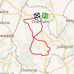

9.3 km | 11.4 km-effort

User


FREE GPS app for hiking
 SityTrail
IGN / Geographical institutes
SityTrail World
The world is yours!
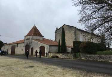
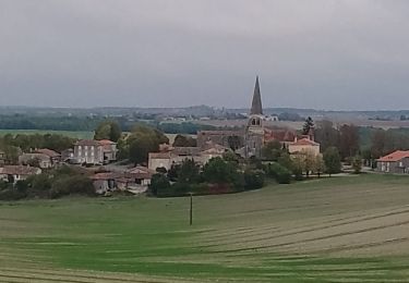
Trail Walking of 11.9 km to be discovered at New Aquitaine, Charente, Boisné-la-Tude. This trail is proposed by dorcier.
Départ du parking situé à droite de la D39 face à l'église.
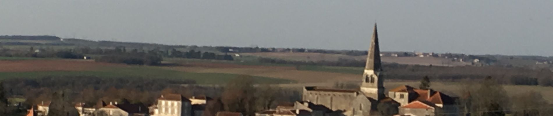
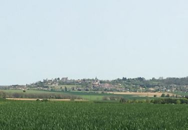
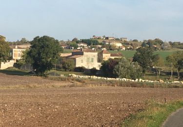
Promenade agréable avec de magnifiques points de vue sur Les chateaux de Villebois-Lavalette et La Mercerie.

Walking

Walking
Walking
Walking
Walking

Walking
Walking
Walking

Equestrian