


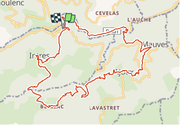


15.4 km | 25 km-effort


User


FREE GPS app for hiking
 SityTrail
IGN / Geographical institutes
SityTrail World
The world is yours!
Trail Mountain bike of 14.8 km to be discovered at Auvergne-Rhône-Alpes, Ardèche, Saint-Julien-du-Gua. This trail is proposed by sebout2.
Sortie relativement courte en kilomètres mais j'ai poussé pas mal dans l'ascension vers Ajoux. Montées un peu difficiles de part la pente et le sol recouvert de cailloux/ branches/ feuilles. Descentes agréables, ludiques et peu techniques. De très beaux points de vues par endroits.
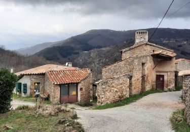
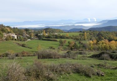
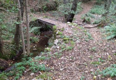
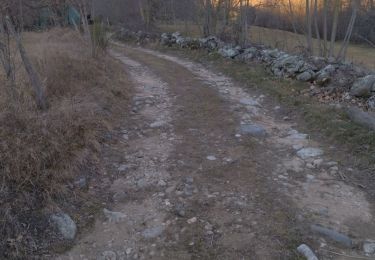
 - Photo 1")
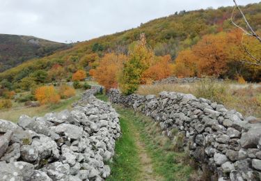
 - Photo 2")
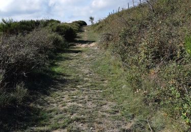
 - Photo 3")
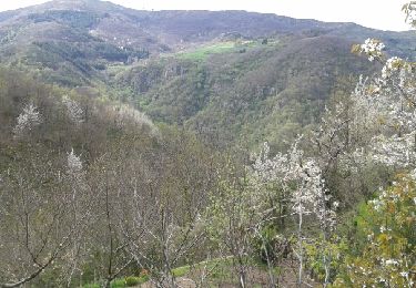
 - Photo 4")
 - Photo 5")
 - Photo 6")
 - Photo 7")
 - Photo 8")
Walking

Walking
Walking
Walking
Walking
Walking
Walking
Walking

Cycle