


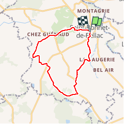

67 km | 78 km-effort


User


FREE GPS app for hiking
 SityTrail
IGN / Geographical institutes
SityTrail World
The world is yours!
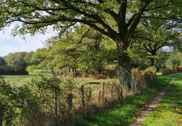
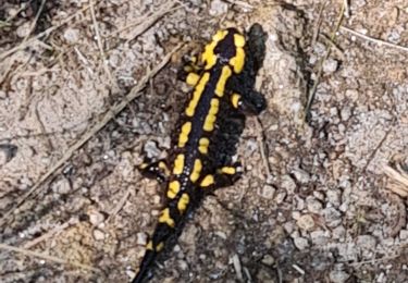
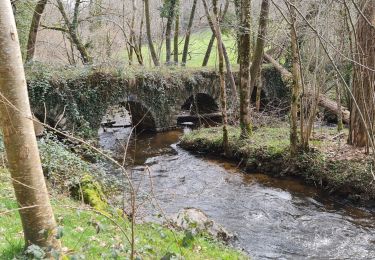
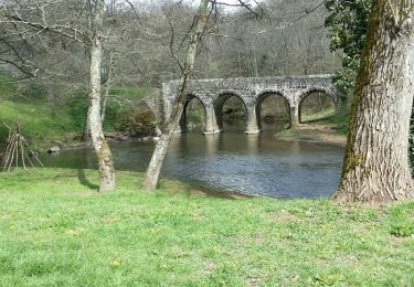
Trail Walking of 14.9 km to be discovered at New Aquitaine, Haute-Vienne, Saint-Bonnet-de-Bellac. This trail is proposed by vignaud.

Motor
Walking

On foot
Walking
Walking
Walking

Cycle

Mountain bike
Walking