


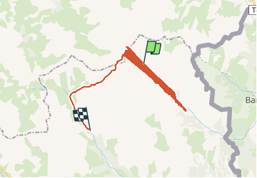


4.2 km | 5.9 km-effort

User


FREE GPS app for hiking
 SityTrail
IGN / Geographical institutes
SityTrail World
The world is yours!
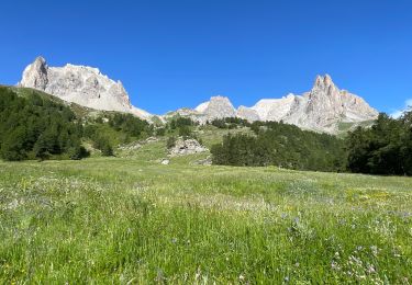
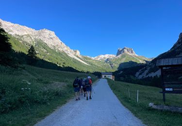
Trail Touring skiing of 799 km to be discovered at Provence-Alpes-Côte d'Azur, Hautes-Alpes, Névache. This trail is proposed by FREERIDE13006.
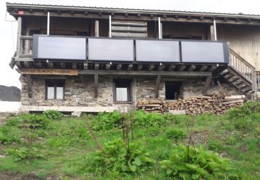
départ i ri maggi. Mt Thabor. col de Valmenier. col des muandes. refuge des Drayieres. refuge laval


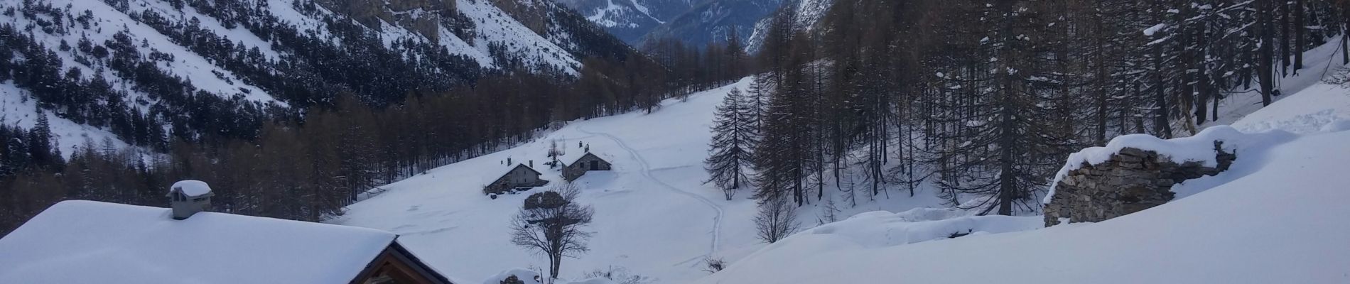
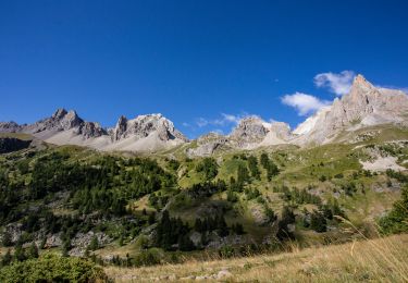
22 photos in total. Please click on a photo to see them all in the gallery.

Walking

Walking

Mountain bike

Walking

Walking
Walking
Walking
Walking
Walking