


4.3 km | 5.3 km-effort

User


FREE GPS app for hiking
 SityTrail
IGN / Geographical institutes
SityTrail World
The world is yours!
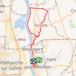
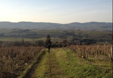
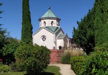
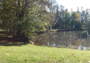
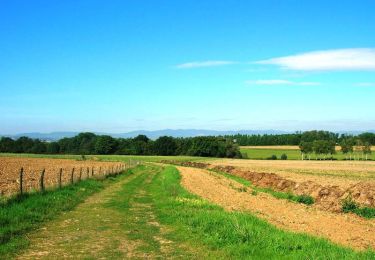
Trail Walking of 15 km to be discovered at Auvergne-Rhône-Alpes, Ain, Jassans-Riottier. This trail is proposed by Thomasdanielle.
D/A Parking place Limelette à Jassans
Prendre les berges de la saône et suivre la carte et le GPS.
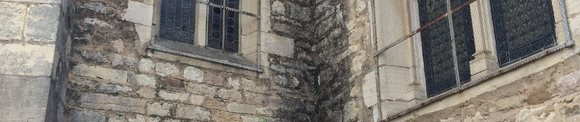
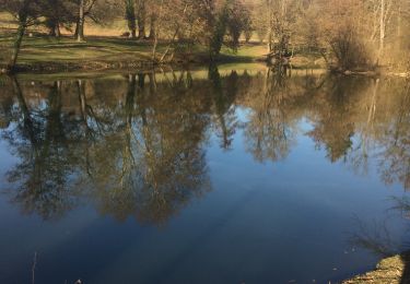
 - Photo 1")
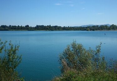
 - Photo 2")
Walking

Walking
Walking

Equestrian
Walking

Road bike