


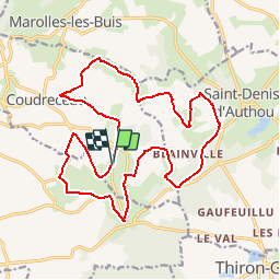

9.4 km | 11.4 km-effort


User


FREE GPS app for hiking
 SityTrail
IGN / Geographical institutes
SityTrail World
The world is yours!
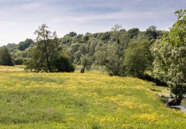
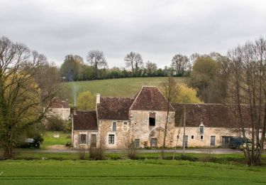
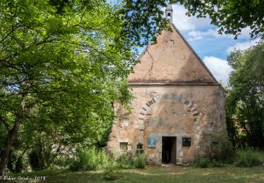
Trail Walking of 19.5 km to be discovered at Centre-Loire Valley, Eure-et-Loir, Arcisses. This trail is proposed by togolo28.
Départ du parking de Belle Vue

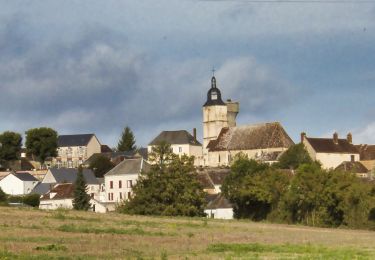
Walking
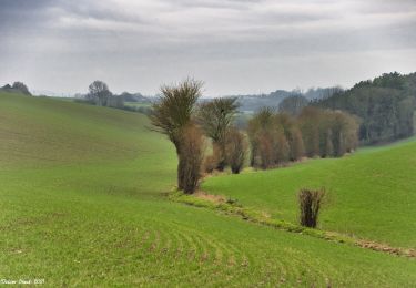
Walking

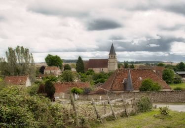
Walking
Walking
Walking
Walking

Walking
Walking
Walking