


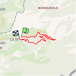

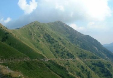
13.9 km | 27 km-effort


User


FREE GPS app for hiking
 SityTrail
IGN / Geographical institutes
SityTrail World
The world is yours!
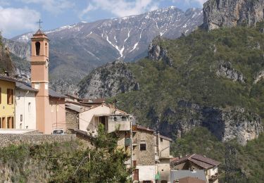
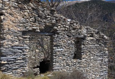
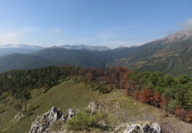
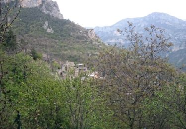
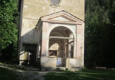
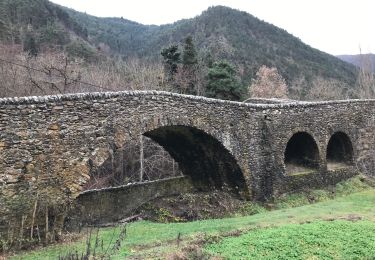
Trail Walking of 10.3 km to be discovered at Provence-Alpes-Côte d'Azur, Maritime Alps, La Brigue. This trail is proposed by patsure.
La Brigue Notre Dame des Fontaines Bois du Pinet La brigue
On foot
On foot
Walking
Walking

Walking
Walking
Walking
Mountain bike
Walking