


20 km | 28 km-effort


Randonnez sur et autour des GR ® wallons (Sentiers de Grande Randonnée). PRO


FREE GPS app for hiking
 SityTrail
IGN / Geographical institutes
SityTrail World
The world is yours!
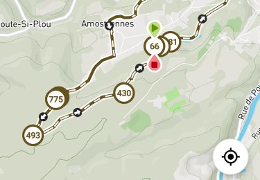
Trail Walking of 11 km to be discovered at Wallonia, Liège, Esneux. This trail is proposed by GR Rando.
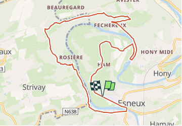
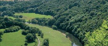
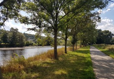
Au fil de l’Ourthe : la boucle de Fêchereux et au-delà
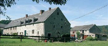
Esneux, Ham, Fêchereux, la Roche-aux-Faucons, la ferme de Rosière, Esneux
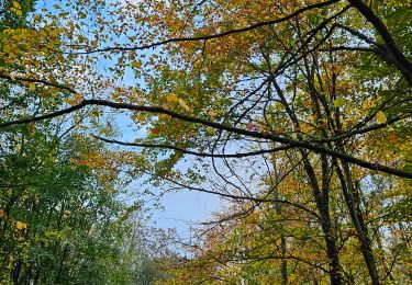
Avertissement aux amateurs de randonnées en shorts ! Sur la butte après le village de Ham, l’itinéraire traverse un tronçon de plusieurs dizaines de mètres d’orties assez féroces !
Un conseil : Par temps humide, un bâton vous aidera à surmonter certains passages où les racines et les rochers qui affleurent, la boue ou la pente du terrain pourraient poser problème.
Cartographie et documentation :
Cartes IGN 1 : 20 000, 42/5-6 « Seraing – Chaudfontaine » et 49/1-2 « Anthisnes – Comblain-au-Pont ».
Topo-guide du GR 576 « Tour du Condroz liégeois » (Huy – Hamoir – Remouchamps – Esneux – Huy).
Topo-guide du GR 57 « Vallée de l’Ourthe et Sentier du Nord » .
Où se désaltérer et se restaurer :
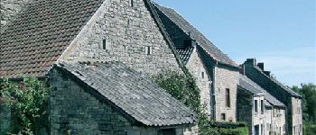
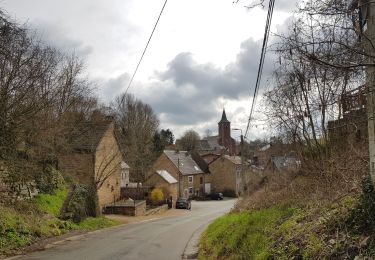
Si la balade vous a donné soif ou ouvert l’appétit, Esneux, petite ville touristique très fréquentée en toutes saisons, aura tout pour vous satisfaire.
Infos touristiques :
Royal Syndicat d’Initiative d’Esneux : www.rsiesneux.be


Walking

Walking

Walking

Walking

Walking
Walking
Walking
Walking
Walking
Très belle balade avec du dénivelé et de magnifiques vues!
magnifique
Super Rando accompagné par le soleil et de superbe vues !!!
tr?s bien