


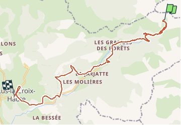

10.2 km | 19.2 km-effort


User


FREE GPS app for hiking
 SityTrail
IGN / Geographical institutes
SityTrail World
The world is yours!
Trail Walking of 20 km to be discovered at Auvergne-Rhône-Alpes, Drôme, Lus-la-Croix-Haute. This trail is proposed by RD78-38.

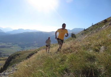
Walking

Walking

Walking
Running

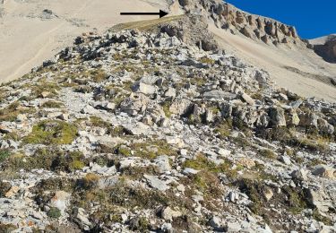
Walking

Walking

Walking
Walking
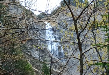
Walking