


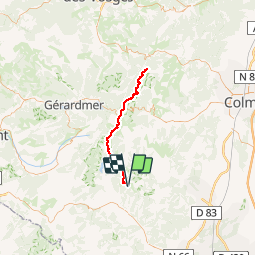

14 km | 19.8 km-effort


User


FREE GPS app for hiking
 SityTrail
IGN / Geographical institutes
SityTrail World
The world is yours!
Trail Road bike of 69 km to be discovered at Grand Est, Haut-Rhin, Ranspach. This trail is proposed by sit68000.
Allez-Retour 2x34km au départ du parking du Markstein - Col de la Schluht - Col du Calvaire (lac Blanc )

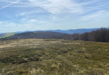
Walking

Walking

On foot

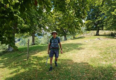
Mountain bike

Walking
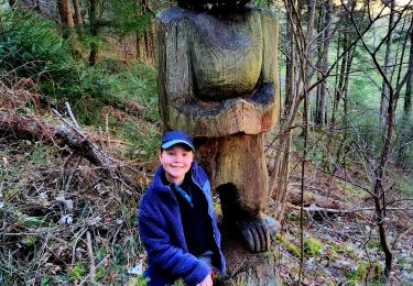
Walking
Walking
Walking

Walking
Pourquoi ne peut on pas modifier le nom de la randonnée sauvegardée depuis le smartphone ? Ce serait bien de pouvoir éditer et modifier les informations aussi depuis le smartphone.