


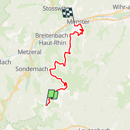

12.7 km | 20 km-effort


User


FREE GPS app for hiking
 SityTrail
IGN / Geographical institutes
SityTrail World
The world is yours!
Trail Walking of 18.1 km to be discovered at Grand Est, Haut-Rhin, Linthal. This trail is proposed by tracegps.
Boucle de 53 km au départ de Munster, passant par les sommets du Hohneck et du Petit Ballon ainsi que la route des crêtes. Le circuit est proposé en 3 étapes de 18 kilométres, les plus rapides le feront en 2 jours. En VTT, il peut être fait en 6h00 3éme étape : Du refuge du Hilsen à la gare de Munster.
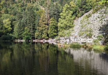
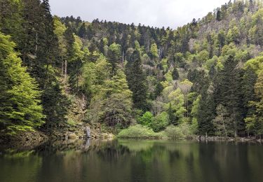
 - Photo 1")
 - Photo 2")
 - Photo 3")
 - Photo 4")
 - Photo 5")
 - Photo 6")

Walking

Walking

Walking
Walking

Walking
Walking

Walking

On foot
Walking
Belle promenade