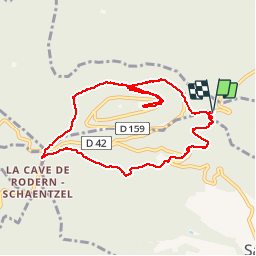

12 km | 17.2 km-effort

User


FREE GPS app for hiking
 SityTrail
IGN / Geographical institutes
SityTrail World
The world is yours!
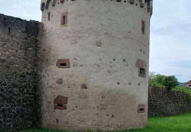
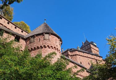
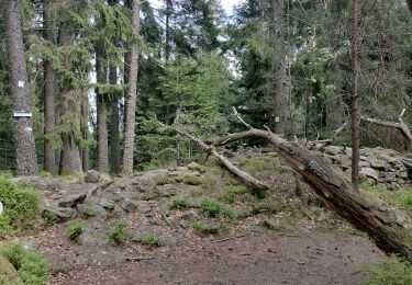
Trail Walking of 8.8 km to be discovered at Grand Est, Bas-Rhin, Orschwiller. This trail is proposed by jean-marie.parachini.
randonnée autour du château


Walking

Walking
Walking

Walking

Walking
Walking
Walking
Walking