


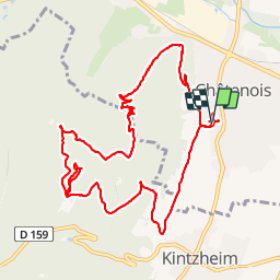


13.2 km | 14.6 km-effort


User


FREE GPS app for hiking
 SityTrail
IGN / Geographical institutes
SityTrail World
The world is yours!
Trail Walking of 12 km to be discovered at Grand Est, Bas-Rhin, Châtenois. This trail is proposed by VacheKiri67.
Balisage : rectangle rouge - croix rouge - anneau bleu.
Faite le 30/10/2012 en 4h30 (dont 0h30 de pauses et 0h35 pour la visite de la "Montagne des Singes") avec notre fils de 8 ans.
Sa durée annoncée étant de 4h30.
Plus de détails : Passion Vosges - Alsace centrale N°5 Page 53 : Le Hahnenberg et les balcons Sélestat.


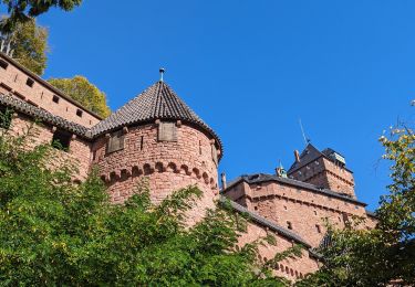
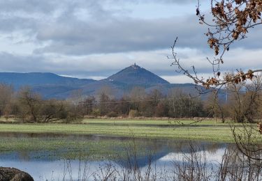
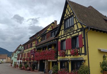
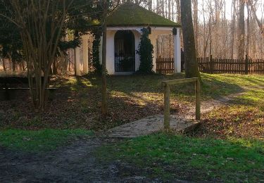
21 photos in total. Please click on a photo to see them all in the gallery.

Walking

Walking
Walking

Walking
Walking

Walking
Walking
Electric bike
Walking
Splendide ballade À faire quand les arbres sont dépourvue de feuilles comme aujourd'hui