


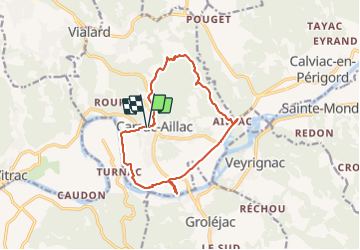

13.7 km | 18.9 km-effort

User


FREE GPS app for hiking
 SityTrail
IGN / Geographical institutes
SityTrail World
The world is yours!
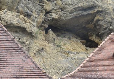
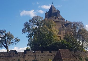
Trail Walking of 13.3 km to be discovered at New Aquitaine, Dordogne, Carsac-Aillac. This trail is proposed by swp648.
Très agréable randonnée avec traversée de beaux villages et belles maisons bien restaurées.
Prendre une demie-journée pour visiter le jardin d'eau.


Walking
Walking
On foot

Walking
Walking
Walking
Walking

Road bike

Road bike
balade ombragée,peu de vues,on longe la Dordogne à la fin,chemins agréables, rando facile,2 beaux villages.