


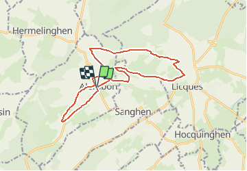


27 km | 34 km-effort


User


FREE GPS app for hiking
 SityTrail
IGN / Geographical institutes
SityTrail World
The world is yours!
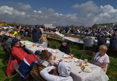
Trail Nordic walking of 14.8 km to be discovered at Hauts-de-France, Pas-de-Calais, Alembon. This trail is proposed by denissculier.
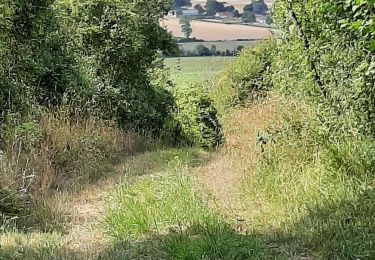
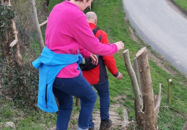
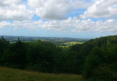
Nous vous invitons à l'Ascension du Ventu, qui culmine à 181,5 mètres d'altitude. Le Ventu se situe entre les deux parties du village, au pied duquel s'ouvre la vallée Madame qui doit peut être son nom à la nature galante des rendez-vous que se donnaient damoiselles et damoiseaux. La descente vers Licques vous offre un panorama magnifique où s'impose la silhouette trapue, au clocher raccourci de l'Abbaye de Licques.

Walking
Walking

Mountain bike
Walking
Mountain bike
Walking
Walking
Walking
Running