


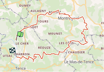

17.7 km | 23 km-effort

User


FREE GPS app for hiking
 SityTrail
IGN / Geographical institutes
SityTrail World
The world is yours!
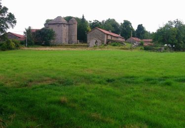
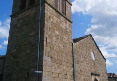
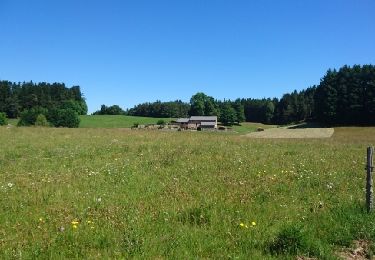
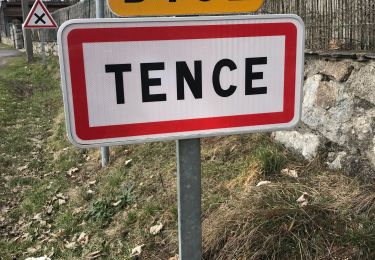
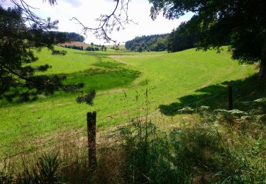
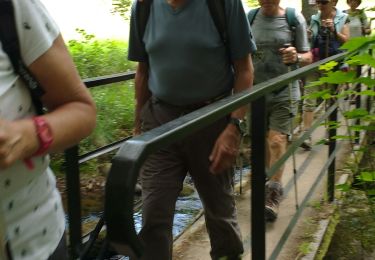
Trail Other activity of 26 km to be discovered at Auvergne-Rhône-Alpes, Haute-Loire, Tence. This trail is proposed by olivier4307.


Mountain bike
Walking
Walking
Walking

Walking
Walking
Walking
Walking
Walking