


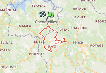

28 km | 36 km-effort


User


FREE GPS app for hiking
 SityTrail
IGN / Geographical institutes
SityTrail World
The world is yours!
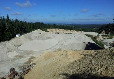
Trail Walking of 12.3 km to be discovered at Auvergne-Rhône-Alpes, Haute-Loire, Chenereilles. This trail is proposed by Gegetop.
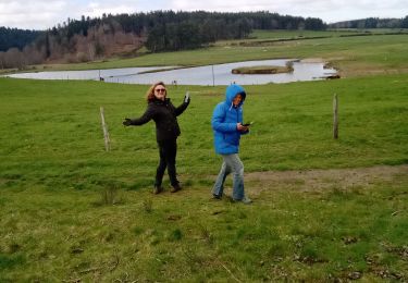
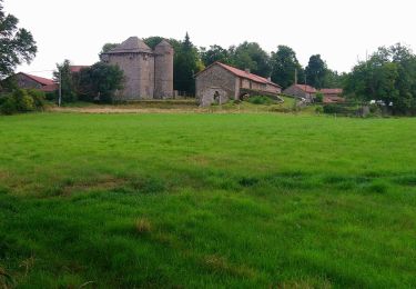
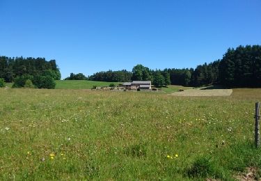
Vous marcherez à travers les immenses sapinières en alternance avec les vertes prairies dans un paysage vallonné et bucolique 😊


Mountain bike
Walking
Walking

Walking
Walking
Other activity

Mountain bike

Walking

Walking