


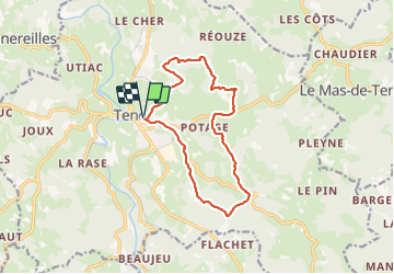

17.7 km | 23 km-effort

User


FREE GPS app for hiking
 SityTrail
IGN / Geographical institutes
SityTrail World
The world is yours!
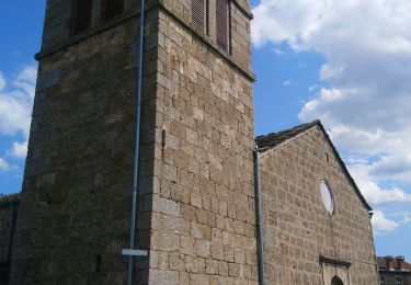
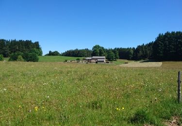
Trail Walking of 13.4 km to be discovered at Auvergne-Rhône-Alpes, Haute-Loire, Tence. This trail is proposed by Thomasdanielle.
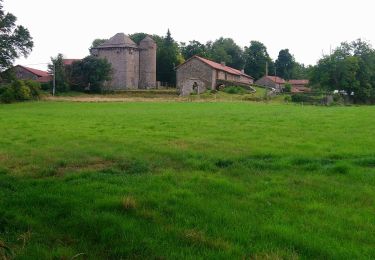
Parking : maison de retraite (Sérigoule)
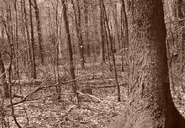
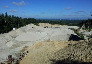
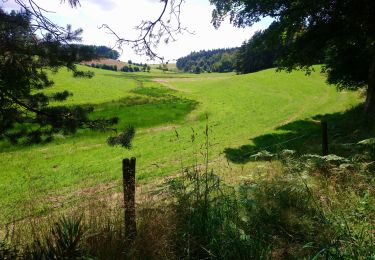
 - Photo 1")
Mountain bike
Walking
Walking
Walking
Walking

Walking
Walking
Other activity
Walking