


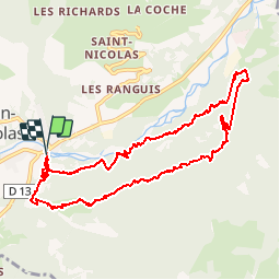

7.4 km | 12.1 km-effort


User


FREE GPS app for hiking
 SityTrail
IGN / Geographical institutes
SityTrail World
The world is yours!
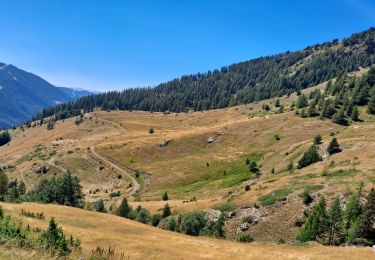
Trail Walking of 11.3 km to be discovered at Provence-Alpes-Côte d'Azur, Hautes-Alpes, Saint-Jean-Saint-Nicolas. This trail is proposed by Orage.
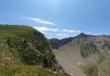
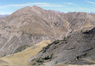
belle boucle à l'ombre

Walking

Running

Walking
Walking
Walking
Walking

Snowshoes

Walking
Walking
excellente application pour tout type de randonnée. Rien à ajouter.