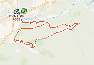
15.4 km | 26 km-effort
Circuit de Costebelle
Dervalmarc
User
Length
7.4 km
Max alt
1459 m
Uphill gradient
347 m
Km-Effort
12.1 km
Min alt
1125 m
Downhill gradient
345 m
Boucle
Yes
Creation date :
2014-12-10 00:00:00.0
Updated on :
2014-12-10 00:00:00.0
2h16
Difficulty : Unknown
FREE GPS app for hiking
About
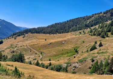
Trail Walking of 7.4 km to be discovered at Provence-Alpes-Côte d'Azur, Hautes-Alpes, Saint-Jean-Saint-Nicolas. This trail is proposed by Dervalmarc.
Description
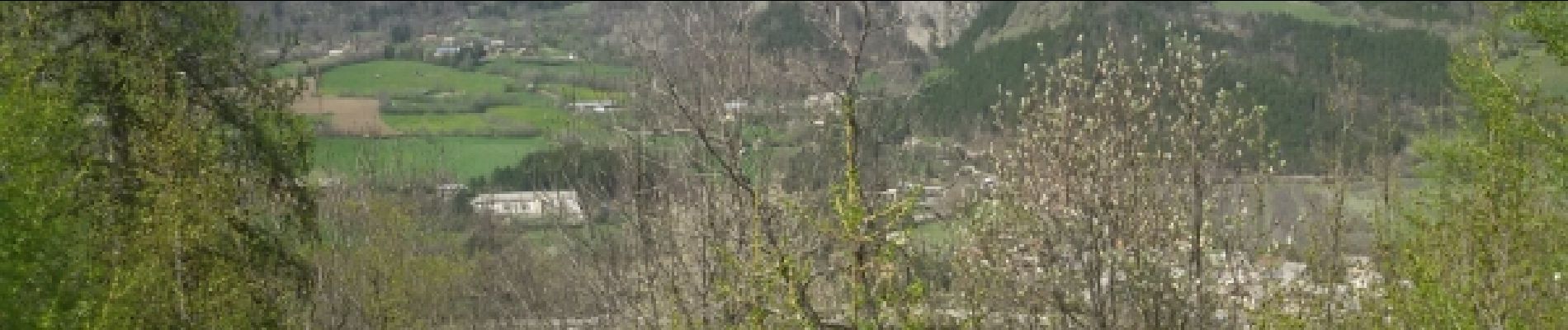
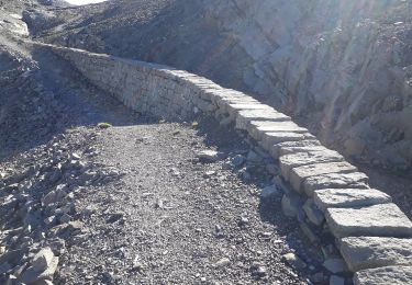
Ruines d'un ancien village.
Positioning
Country:
France
Region :
Provence-Alpes-Côte d'Azur
Department/Province :
Hautes-Alpes
Municipality :
Saint-Jean-Saint-Nicolas
Location:
Unknown
Start:(Dec)
Start:(UTM)
280263 ; 4949649 (32T) N.
Comments
Trails nearby
Ancelle-Tour du Cuchon
Running
Very easy
(2)
Ancelle,
Provence-Alpes-Côte d'Azur,
Hautes-Alpes,
France
3h 15min
Yes
col de la coupa et tour de la rouanne
Walking
Difficult
(1)
Ancelle,
Provence-Alpes-Côte d'Azur,
Hautes-Alpes,
France
16.2 km | 28 km-effort
4h 56min
Yes
Le Piolt par la Pourrachiere 21/07/23
Walking
Very difficult
Ancelle,
Provence-Alpes-Côte d'Azur,
Hautes-Alpes,
France
13.7 km | 25 km-effort
5h 41min
Yes
Le Piolit par Rouanne Haute 27/09/19
Walking
Very difficult
Ancelle,
Provence-Alpes-Côte d'Azur,
Hautes-Alpes,
France
14.2 km | 26 km-effort
5h 15min
Yes
Tête ouest de Mal Cros 11/08/18
Walking
Very difficult
Saint-Michel-de-Chaillol,
Provence-Alpes-Côte d'Azur,
Hautes-Alpes,
France
21 km | 40 km-effort
8h 2min
Yes
Tour de Pourrachière
Snowshoes
Difficult
(1)
Ancelle,
Provence-Alpes-Côte d'Azur,
Hautes-Alpes,
France
14.9 km | 26 km-effort
6h 0min
No
Pont Ricous Pelissier Coste Belle Pont du Fossé
Walking
Easy
(2)
Saint-Jean-Saint-Nicolas,
Provence-Alpes-Côte d'Azur,
Hautes-Alpes,
France
11.3 km | 21 km-effort
1h 57min
Yes
col pourrachere pour les cools
Walking
Difficult
(1)
Ancelle,
Provence-Alpes-Côte d'Azur,
Hautes-Alpes,
France
9.9 km | 17.4 km-effort
3h 57min
Yes
Le Palastre
Walking
Medium
Saint-Jean-Saint-Nicolas,
Provence-Alpes-Côte d'Azur,
Hautes-Alpes,
France
9.1 km | 17.9 km-effort
4h 4min
Yes
Circuit très mal indiqué. On peut facilement se tromper dans la descente.
excellente application pour la randonnée dommage qu'à partir de l 'ouverture de la carte li ne soit pas possible de tracer directement son topo pour une utilisation sur le terrain.