


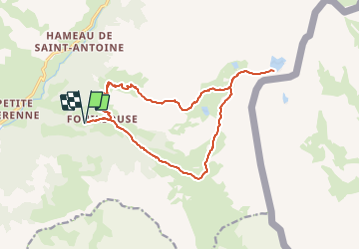

13 km | 32 km-effort


User


FREE GPS app for hiking
 SityTrail
IGN / Geographical institutes
SityTrail World
The world is yours!
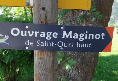
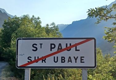
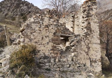
Trail Walking of 17.4 km to be discovered at Provence-Alpes-Côte d'Azur, Alpes-de-Haute-Provence, Saint-Paul-sur-Ubaye. This trail is proposed by andre06130.
Départ de Fouillouse (Village d'origine de la famille de l'Abbé Pierre)
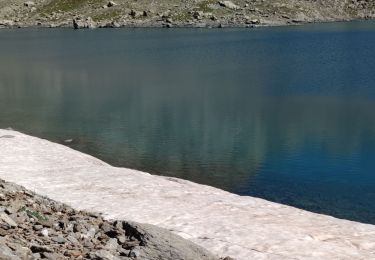
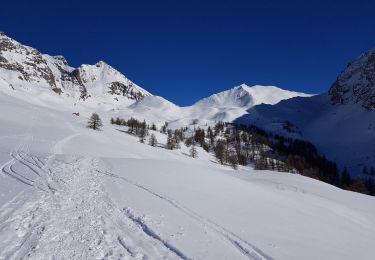
Arrivée au pied du Brec du Chambeyron

Walking

Other activity
Walking

Walking
Walking
Walking
Walking
Snowshoes

Walking
Très bien