


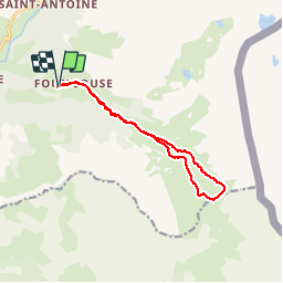


13 km | 32 km-effort

User


FREE GPS app for hiking
 SityTrail
IGN / Geographical institutes
SityTrail World
The world is yours!
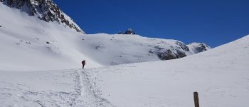
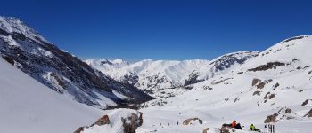
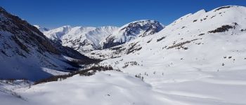
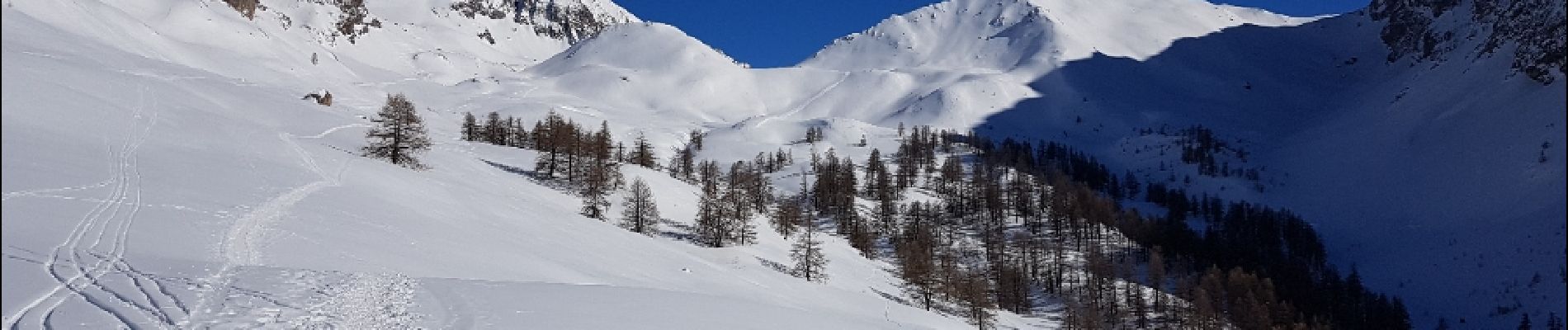
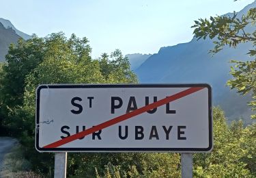
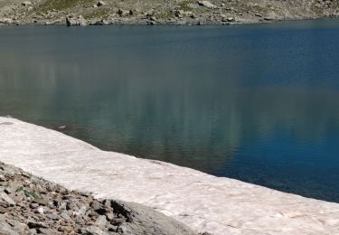
Trail Snowshoes of 12.3 km to be discovered at Provence-Alpes-Côte d'Azur, Alpes-de-Haute-Provence, Saint-Paul-sur-Ubaye. This trail is proposed by patjobou.
Belle boucle avec le passage derrière La Tête de Plate Lombarde très sauvage.


Walking

Other activity
Walking
Walking
Walking
Walking
Walking
Walking

Walking