


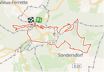

22 km | 31 km-effort


User


FREE GPS app for hiking
 SityTrail
IGN / Geographical institutes
SityTrail World
The world is yours!
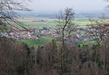
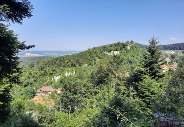
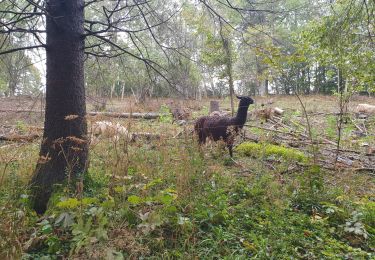
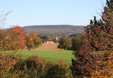
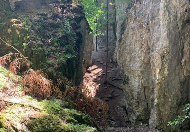
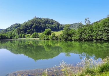
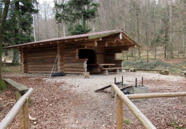
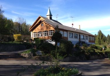
Trail Walking of 13.1 km to be discovered at Grand Est, Haut-Rhin, Ferrette. This trail is proposed by regisbodilis.
Ferrette - Chateau - Grotte des nains - Bergmatten - Rossberg
Walking
Walking
Walking

Equestrian
Cycle
Walking
Walking
Walking
Belle randonnée en campagne bretonne