Trail Walking Dienne - Cantal - le Chaumeil - Dienne et Rocher de Laqueille - 9km 265m 2h50 - 2019 07 05 - Photo

Cantal - le Chaumeil - Dienne et Rocher de Laqueille - 9km 265m 2h50 - 2019 07 05

 Orcal37
Orcal37

User

© OpenStreetMap contributors
Length
Length
9 km
Max alt
Max alt
1282 m
Uphill gradient
Uphill gradient
267 m
Km-Effort
Km-Effort  
12.6 km
Min alt
Min alt
1047 m
Downhill gradient
Downhill gradient
266 m
Boucle
Boucle
Yes
Creation date :
2019-07-05 08:38:29.691
Updated on :
2021-09-11 12:47:55.829

(1 Reviews)

Walking
Walking
2h50
Difficulty : Very easy

Scan this QR Code to open this trail in the SityTrail application

FREE GPS app for hiking

Logo SityTrail SityTrail

IGN / Geographical institutes

Download SityTrail from the App Store Download SityTrail from Google Play

Logo SityTrail SityTrail World

The world is yours!

Download SityTrail from the App Store Download SityTrail from Google Play Download SityTrail on Huawei AppGallery

About

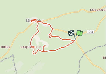
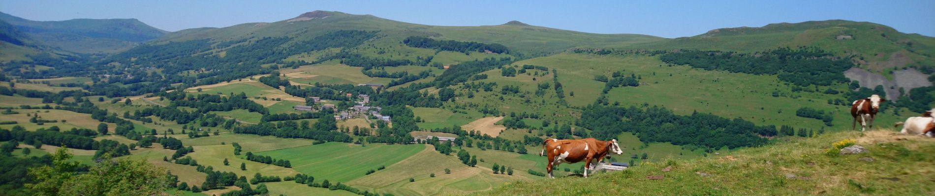
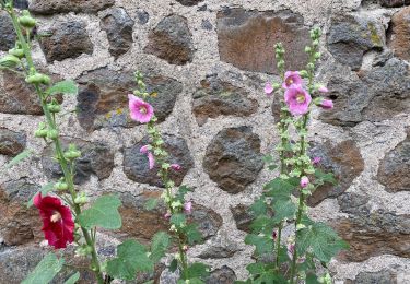
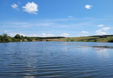
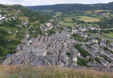
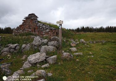
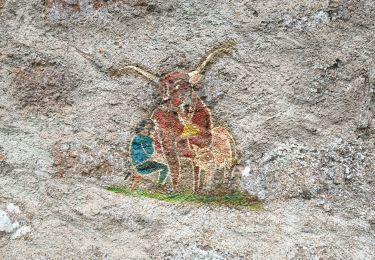
Trail Walking of 9 km to be discovered at Auvergne-Rhône-Alpes, Cantal, Dienne. This trail is proposed by Orcal37.

Description

Cantal - le Chaumeil (Dienne) - Dienne et le Rocher de Laqueille - 9km 265m 2h50 - 2019 07 05

Elevation profile

Photos

Positioning

Country:
France
Region :
Auvergne-Rhône-Alpes
Department/Province :
Cantal
Municipality :
Dienne
Location:
Unknown
Start:(UTM)
485179 ; 4999711 (31T) N.

Comments

Please log in to post a review or rate the element


Trails nearby

Trail Walking Murat - les estives et tourbière de Chastel sur Murat - Photo
Walking
phil33

Walking

Easy
(1)
Murat, Auvergne-Rhône-Alpes, Cantal, France
7.7 km | 10.5 km-effort
2h 16min
Yes
Trail Walking Laveissière - Le lac Glory de Laveissière - Photo
Walking
tracegps

Walking

Medium
(2)
Laveissière, Auvergne-Rhône-Alpes, Cantal, France
11.1 km | 16.8 km-effort
4h 0min
Yes
Trail On foot Dienne - Sentier des Quirous - Photo
On foot
PRO

On foot

Easy
Dienne, Auvergne-Rhône-Alpes, Cantal, France
12.2 km | 18.3 km-effort
4h 9min
No
Trail Walking Dienne - Lac de sauvages  - Photo
Walking
GUIDE
antignacs

Walking

Very easy
Dienne, Auvergne-Rhône-Alpes, Cantal, France
5.7 km | 7 km-effort
1h 37min
Yes
Trail Walking Dienne - Dienne  - Photo
Walking
GUIDE
antignacs

Walking

Very easy
(1)
Dienne, Auvergne-Rhône-Alpes, Cantal, France
8.4 km | 13.2 km-effort
2h 25min
Yes
Trail Walking Dienne - Lioran 2023-08-15 Tour des lacs Sauvages - Photo
Walking
marionneau

Walking

Easy
Dienne, Auvergne-Rhône-Alpes, Cantal, France
11.1 km | 13.7 km-effort
2h 32min
Yes
Trail Walking Murat - Murat - La Bonnevie de Saint-Antoine - Photo
Walking
VacheKiri67

Walking

Easy
Murat, Auvergne-Rhône-Alpes, Cantal, France
8.7 km | 13.1 km-effort
3h 24min
Yes
Trail Walking Laveissière - Burons  - Photo
Walking
sereton

Walking

Medium
Laveissière, Auvergne-Rhône-Alpes, Cantal, France
13.2 km | 21 km-effort
4h 9min
Yes
Trail Walking Lavigerie - Lavigerie - Photo
Walking
sereton

Walking

Easy
Lavigerie, Auvergne-Rhône-Alpes, Cantal, France
12.1 km | 16.2 km-effort
3h 26min
Yes


Close
My subscriptions