


15 km | 18.8 km-effort


User


FREE GPS app for hiking
 SityTrail
IGN / Geographical institutes
SityTrail World
The world is yours!
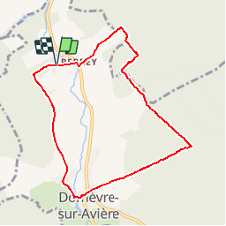
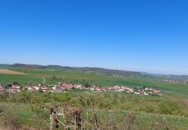
Trail Walking of 8.2 km to be discovered at Grand Est, Vosges, Domèvre-sur-Avière. This trail is proposed by tracegps.
Boucle de 8 km partant de Domèvre sur Avière et passant pas le petit village de Perrey. Un circuit facile (1h20) et authentique pour les amateurs comme les passionnés.

On foot


Walking

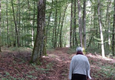
Walking
Electric bike

Walking

Walking
Mountain bike