


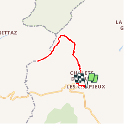

12.3 km | 26 km-effort

User


FREE GPS app for hiking
 SityTrail
IGN / Geographical institutes
SityTrail World
The world is yours!
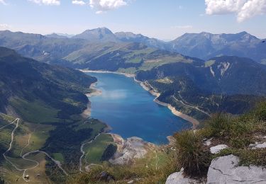
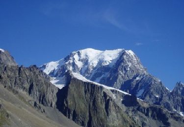
Trail Walking of 15.3 km to be discovered at Auvergne-Rhône-Alpes, Savoy, Bourg-Saint-Maurice. This trail is proposed by BernardThiry.
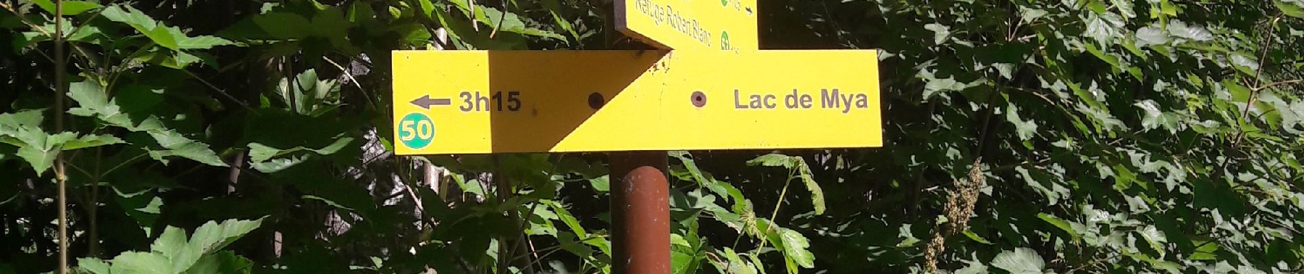
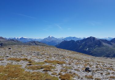
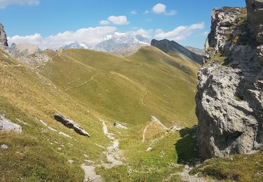
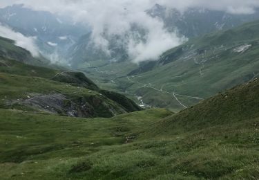
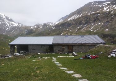
longue montée à partir des Chapieux jusqu'au refuge et très bel aller-retour sur la Crête quasi jusqu'au col de la sauce et retour


Walking

Walking
Walking
Walking
Walking
Touring skiing
Walking
Walking
Walking