


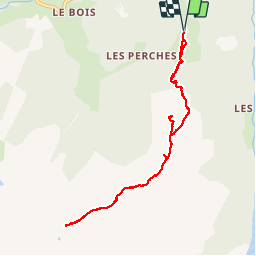

8.2 km | 17.9 km-effort

User


FREE GPS app for hiking
 SityTrail
IGN / Geographical institutes
SityTrail World
The world is yours!
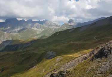
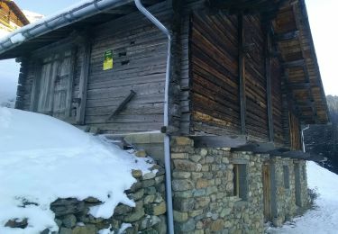
Trail Walking of 8.9 km to be discovered at Auvergne-Rhône-Alpes, Savoy, Beaufort. This trail is proposed by marchev.
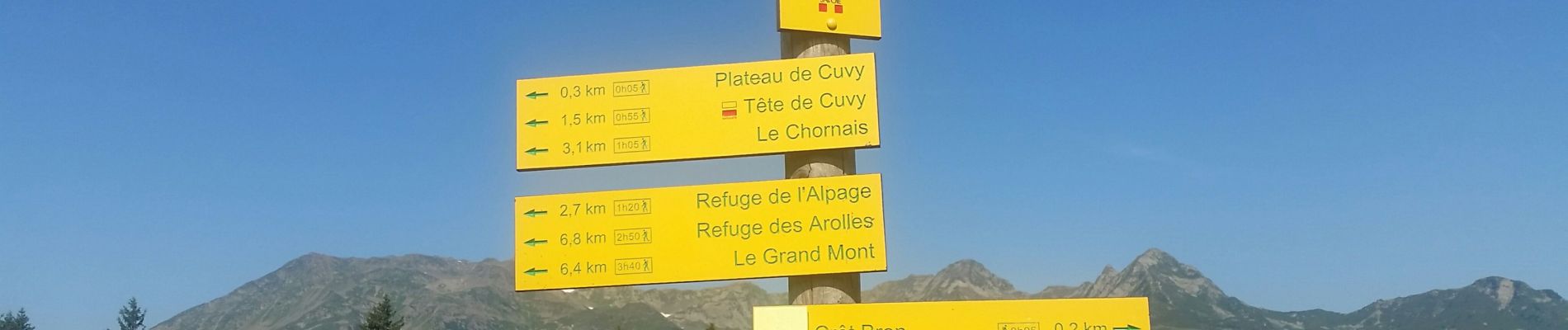
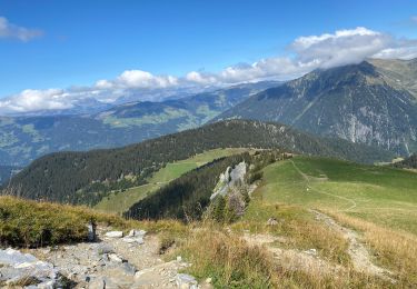
en prenant télé siege aller en direction de la tête de Cuvy puis direction lac tournant en aller retour. Le chemin pour le lac tournant est sympathique.
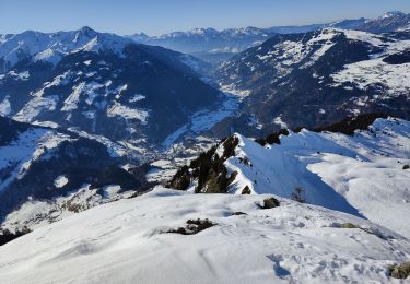
Attention dernier télé siège à 16H30


Walking
Touring skiing
Walking
Walking
Touring skiing
Walking
Touring skiing
Snowshoes
Walking