


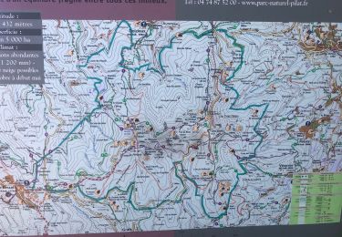
9.4 km | 13.8 km-effort

User


FREE GPS app for hiking
 SityTrail
IGN / Geographical institutes
SityTrail World
The world is yours!
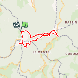
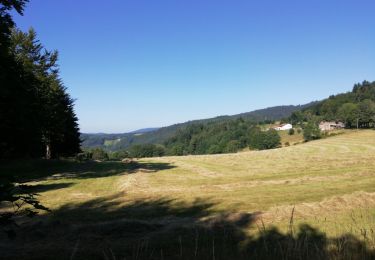
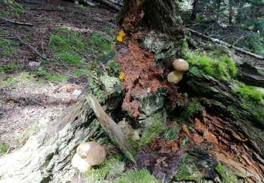
Trail Walking of 12.4 km to be discovered at Auvergne-Rhône-Alpes, Loire, Doizieux. This trail is proposed by olivier26.
tour des crêtes du pilat


Walking
Walking
Walking
Walking
Walking

Walking
Walking
Walking

Cross-country skiing
super
Beau parcours. Pour le départ, il serait mieux de partir par le fond du parking, plutôt que par la route. Pour ceux qui ne craignent pas de revenir par le même chemin, je conseille car le chemin de retour est moins intéressant. Glaf21