


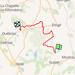

14.6 km | 16.9 km-effort


User


FREE GPS app for hiking
 SityTrail
IGN / Geographical institutes
SityTrail World
The world is yours!
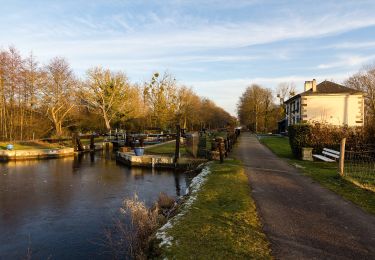
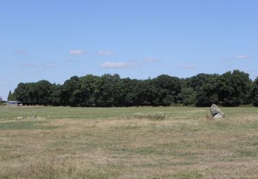
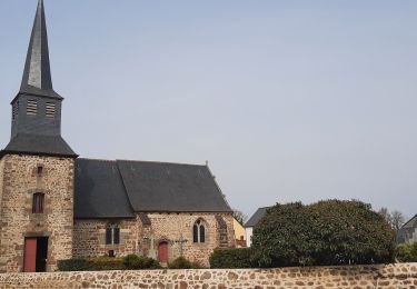
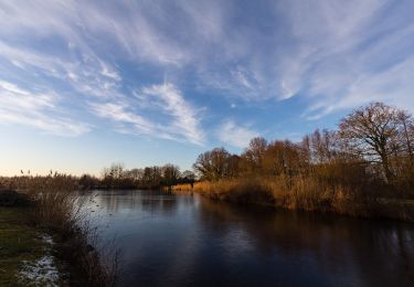
Trail Walking of 17.1 km to be discovered at Brittany, Ille-et-Vilaine, Guipel. This trail is proposed by vincent35.
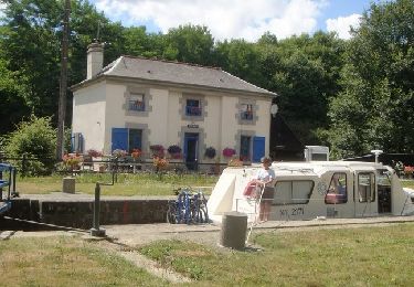
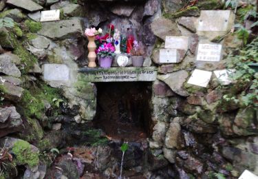
Portion du Parcours de Babeth35....Très beaux passages en sous bois
Petit inconvenient : Un morceau de route sur D87 obligatoire, car pas d'acces à la Foret de Tanouarn, sans doute privée...A vérifier


Mountain bike
On foot
On foot
On foot
On foot
Walking
On foot
On foot
On foot