


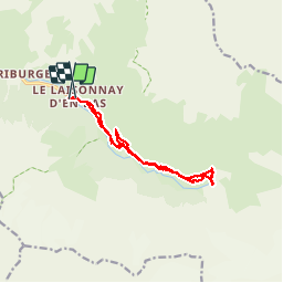


24 km | 44 km-effort


User

FREE GPS app for hiking
 SityTrail
IGN / Geographical institutes
SityTrail World
The world is yours!
Trail Walking of 13 km to be discovered at Auvergne-Rhône-Alpes, Savoy, Champagny-en-Vanoise. This trail is proposed by liebert.
A partir du laysonne d’en bas


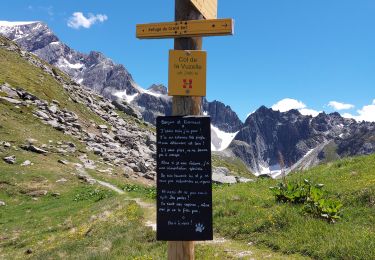
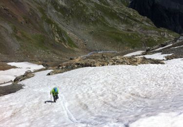
24 photos in total. Please click on a photo to see them all in the gallery.

Walking
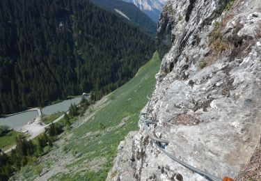
Via ferrata

Walking
Walking

Walking

Walking
Walking

Walking

Snowshoes