Trail Walking Jarsy - Bauges Pointe de la Fougère et crête vers Armenaz - Photo

Bauges Pointe de la Fougère et crête vers Armenaz

 c.gourme
c.gourme

User

© OpenStreetMap contributors
Length
Length
14.5 km
Max alt
Max alt
1996 m
Uphill gradient
Uphill gradient
1089 m
Km-Effort
Km-Effort  
29 km
Min alt
Min alt
1009 m
Downhill gradient
Downhill gradient
1093 m
Boucle
Boucle
Yes
Creation date :
2019-08-06 06:49:36.0
Updated on :
2020-10-23 07:40:29.135

(1 Reviews)

Walking
Walking
7h35
Difficulty : Medium

Scan this QR Code to open this trail in the SityTrail application

FREE GPS app for hiking

Logo SityTrail SityTrail

IGN / Geographical institutes

Download SityTrail from the App Store Download SityTrail from Google Play

Logo SityTrail SityTrail World

The world is yours!

Download SityTrail from the App Store Download SityTrail from Google Play Download SityTrail on Huawei AppGallery

About

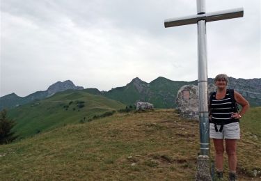
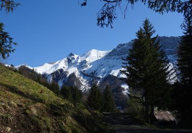
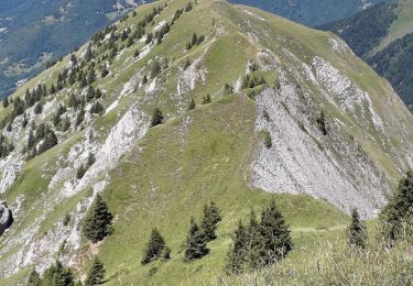
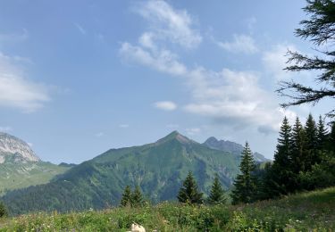
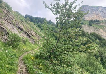
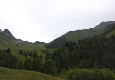
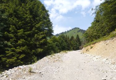
Trail Walking of 14.5 km to be discovered at Auvergne-Rhône-Alpes, Savoy, Jarsy. This trail is proposed by c.gourme.

Description

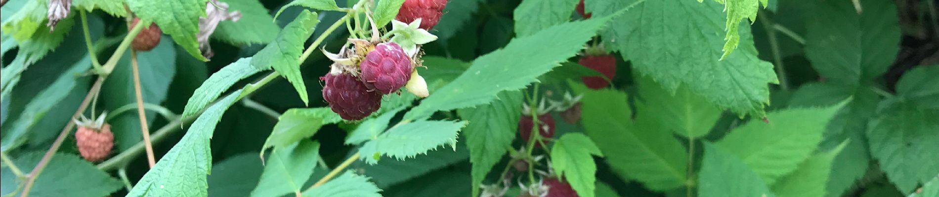
Beaucoup de framboises : 2,4 km et 300 mètres du parking voire point d’intérêt.

Elevation profile

Photos

Positioning

Country:
France
Region :
Auvergne-Rhône-Alpes
Department/Province :
Savoy
Municipality :
Jarsy
Location:
Unknown
Start:(UTM)
284675 ; 5058409 (32T) N.

Comments

Please log in to post a review or rate the element


Trails nearby

Trail Walking Jarsy - BAUGES: PRECHEREL - CROIX D'ALLANT - PLAN DE LA LIMACE - en direction du Mont de la Coche - Photo
Walking
djeepee74

Walking

Difficult
(1)
Jarsy, Auvergne-Rhône-Alpes, Savoy, France
13.1 km | 24 km-effort
4h 45min
Yes
Trail Horseback riding Sainte-Hélène-sur-Isère - boucle NDMillières Aiton - Photo
Horseback riding
xhakon

Horseback riding

Very easy
(1)
Sainte-Hélène-sur-Isère, Auvergne-Rhône-Alpes, Savoy, France
14.1 km | 16.3 km-effort
2h 30min
Yes
Trail Walking Jarsy - col orgeval - Photo
Walking
remy7436

Walking

Easy
(1)
Jarsy, Auvergne-Rhône-Alpes, Savoy, France
11.9 km | 22 km-effort
Unknown
Yes
Trail Walking Jarsy - Croix d'Allant et Plan de la Limace  - Photo
Walking
GuyVachet

Walking

Very difficult
Jarsy, Auvergne-Rhône-Alpes, Savoy, France
14.6 km | 26 km-effort
6h 29min
Yes
Trail Walking École - Pointe des Arlicots  - Photo
Walking
Annie21

Walking

Difficult
École, Auvergne-Rhône-Alpes, Savoy, France
13.4 km | 29 km-effort
8h 0min
Yes
Trail Walking Cléry - Chalet de la balme col de la fougère  - Photo
Walking
000076.453eeca5ff404f899beaf0e291c65c64.0750

Walking

Difficult
Cléry, Auvergne-Rhône-Alpes, Savoy, France
10.6 km | 21 km-effort
3h 51min
Yes
Trail Walking Cléry - Chalet balme chemin col fougères  - Photo
Walking
000076.453eeca5ff404f899beaf0e291c65c64.0750

Walking

Medium
Cléry, Auvergne-Rhône-Alpes, Savoy, France
9.1 km | 18 km-effort
2h 57min
Yes
Trail Walking Plancherine - chalet de Drison à nant fourchu  - Photo
Walking
nadd73

Walking

Medium
Plancherine, Auvergne-Rhône-Alpes, Savoy, France
9.6 km | 18.3 km-effort
3h 23min
No
Trail Walking Jarsy - parc à moutons  - Photo
Walking
nadd73

Walking

Medium
Jarsy, Auvergne-Rhône-Alpes, Savoy, France
11.3 km | 25 km-effort
6h 0min
No


Close
My subscriptions