


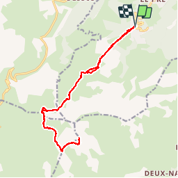

18.1 km | 34 km-effort

User


FREE GPS app for hiking
 SityTrail
IGN / Geographical institutes
SityTrail World
The world is yours!
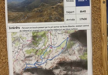
Trail Walking of 18.3 km to be discovered at Auvergne-Rhône-Alpes, Savoy, Les Avanchers-Valmorel. This trail is proposed by zazie.
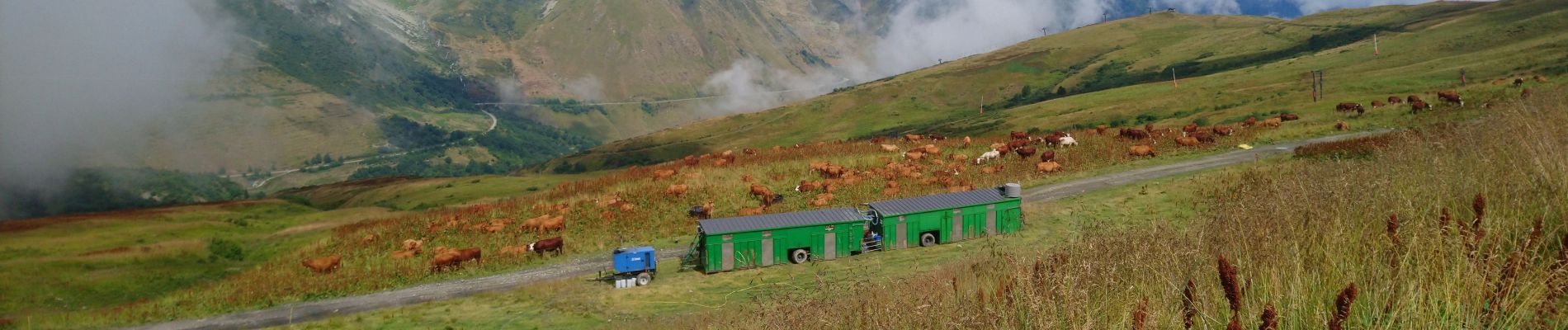
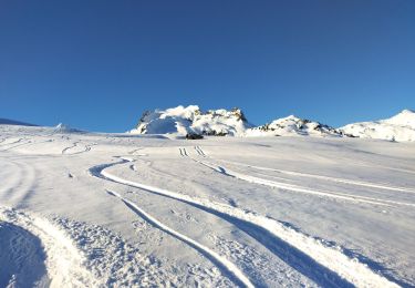
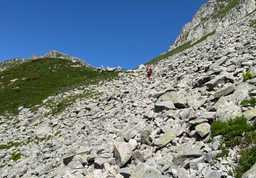
Montée par le télésiège de l'altispace. Le reste se fait en randonnée plus paisible sauf au passage de deux ou trois pierriers.
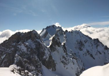
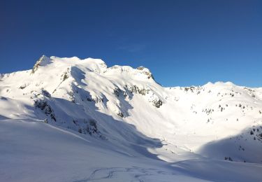
Depuis le col, vue sur les petits lacs, larges prairies pour un pique nique.
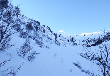
Le chemin d'accès au sommet du Cheval Noir a été retaillé en larges lacets, peu de difficultés depuis le col.


Walking
Touring skiing
Touring skiing
Touring skiing
Touring skiing
Touring skiing
Walking
Walking
Walking