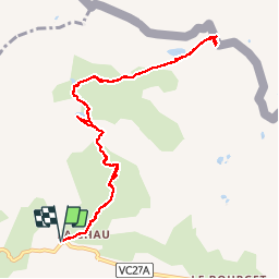
11.3 km | 19.5 km-effort
cime saurel
gibello
User
Length
10.9 km
Max alt
2399 m
Uphill gradient
544 m
Km-Effort
18.1 km
Min alt
1892 m
Downhill gradient
544 m
Boucle
Yes
Creation date :
2019-08-16 07:59:38.117
Updated on :
2019-08-16 15:11:12.996
5h05
Difficulty : Easy
FREE GPS app for hiking
About
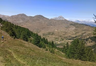
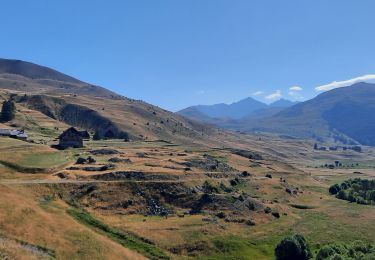
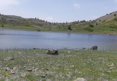
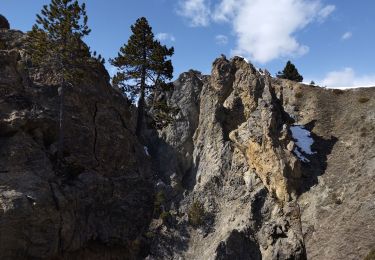
Trail Walking of 10.9 km to be discovered at Provence-Alpes-Côte d'Azur, Hautes-Alpes, Cervières. This trail is proposed by gibello.
Description
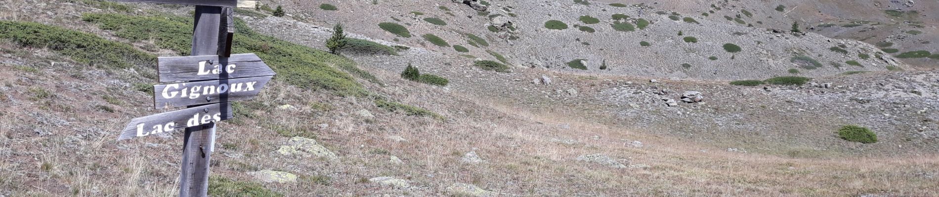
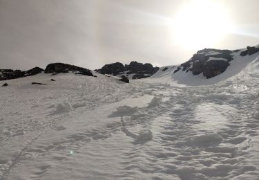
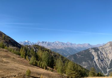
départ la chau 1922m.lac noir 2226m..lac rouséou 2300m.lc gignoux 2335m. col saurel..lac saurel retour
.
Positioning
Country:
France
Region :
Provence-Alpes-Côte d'Azur
Department/Province :
Hautes-Alpes
Municipality :
Cervières
Location:
Unknown
Start:(Dec)
Start:(UTM)
322098 ; 4972011 (32T) N.
Comments
Trails nearby
le Chenaillet et le grand charvia
Walking
Medium
Val-des-Prés,
Provence-Alpes-Côte d'Azur,
Hautes-Alpes,
France
4h 17min
No
le lac des Cordes et le pic du vallon Crouzet
Walking
Easy
Cervières,
Provence-Alpes-Côte d'Azur,
Hautes-Alpes,
France
11.8 km | 22 km-effort
4h 26min
Yes
Le Laus - Vers Izoard par le sentier de la Mule
Snowshoes
Difficult
(3)
Cervières,
Provence-Alpes-Côte d'Azur,
Hautes-Alpes,
France
12.3 km | 20 km-effort
5h 18min
Yes
bas de Rochebrune
Touring skiing
Medium
Cervières,
Provence-Alpes-Côte d'Azur,
Hautes-Alpes,
France
15.1 km | 29 km-effort
4h 5min
No
Briançon -Fort Gondran -Montgenevre
Mountain bike
Difficult
Briançon,
Provence-Alpes-Côte d'Azur,
Hautes-Alpes,
France
24 km | 33 km-effort
2h 16min
No
le lasseron col de chaude maison
Walking
Difficult
Cervières,
Provence-Alpes-Côte d'Azur,
Hautes-Alpes,
France
13.3 km | 28 km-effort
9h 54min
Yes
Le Grand Charvia
Walking
Very difficult
Cervières,
Provence-Alpes-Côte d'Azur,
Hautes-Alpes,
France
10.9 km | 21 km-effort
4h 43min
Yes
Cervières
Walking
Difficult
Cervières,
Provence-Alpes-Côte d'Azur,
Hautes-Alpes,
France
7.7 km | 13.4 km-effort
3h 6min
Yes
Peyre moutte
Walking
Easy
Cervières,
Provence-Alpes-Côte d'Azur,
Hautes-Alpes,
France
6.2 km | 13.5 km-effort
2h 41min
Yes