


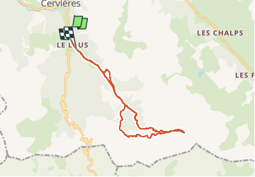

6.2 km | 13.5 km-effort

User GUIDE


FREE GPS app for hiking
 SityTrail
IGN / Geographical institutes
SityTrail World
The world is yours!
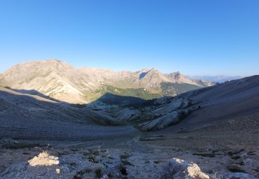
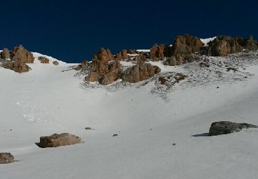
Trail Touring skiing of 15.1 km to be discovered at Provence-Alpes-Côte d'Azur, Hautes-Alpes, Cervières. This trail is proposed by nadd73.
Des Laus peu de portage.
Ne pas monter par où je suis montée car très galère.Mo'tet par la trace de descente


Walking
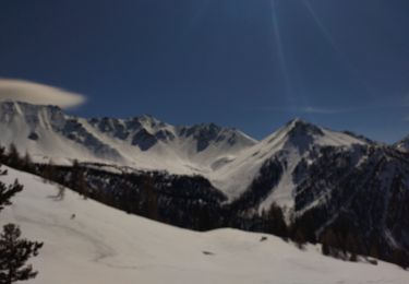
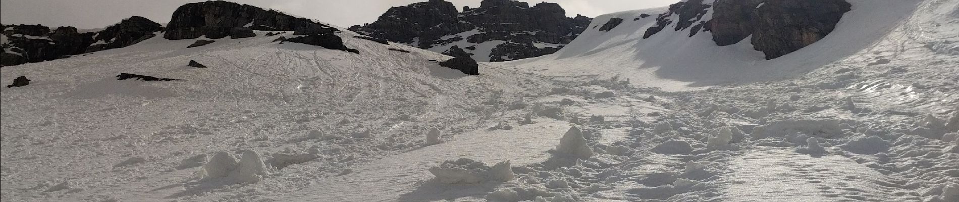
Touring skiing

Touring skiing
Walking

Walking
Other activity

Snowshoes
Walking
Mountain bike