


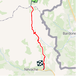

14.3 km | 29 km-effort


User


FREE GPS app for hiking
 SityTrail
IGN / Geographical institutes
SityTrail World
The world is yours!
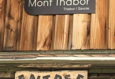
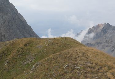
Trail Walking of 18.1 km to be discovered at Auvergne-Rhône-Alpes, Savoy, Modane. This trail is proposed by dfluzin.
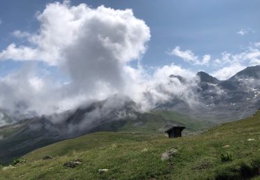
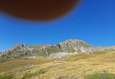
Nous terminons notre tour du Mont Thabor par la Vallée Etroite en descendant longuement du refuge du Mont Thabor. Puis une belle remontée bien tracée, nous fait traverser le très joli plateau des Thures, avant la plongée surprenante sur le hameau de Roubion où nous avions laissé le véhicule.
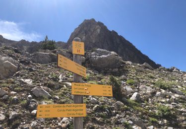
Belle journée, variée et la boucle par le Lago Verde est indispensable tant c'est beau voire incroyable


Walking
Walking
Walking
Touring skiing
Walking
Walking
Touring skiing
Walking
Walking