


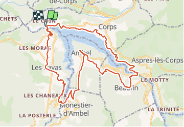

10.7 km | 21 km-effort


User


FREE GPS app for hiking
 SityTrail
IGN / Geographical institutes
SityTrail World
The world is yours!
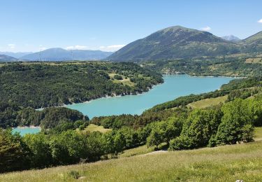
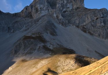
Trail Mountain bike of 26 km to be discovered at Auvergne-Rhône-Alpes, Isère, Corps. This trail is proposed by StephaneBM.
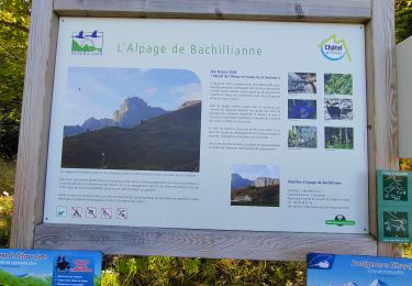
pas mal de poussette tout au long du parcours néanmoins magnifique.
Walking
Walking
Walking
Walking
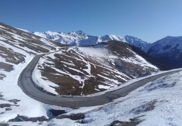
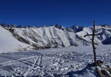
Touring skiing
Walking
Walking
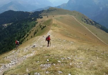
On foot
Walking