Trail Walking Rethondes - en forêt de Laigue_4_08_2019_Mont du Fouilleux_Mont des Singes_Marais de Francière - Photo

en forêt de Laigue_4_08_2019_Mont du Fouilleux_Mont des Singes_Marais de Francière

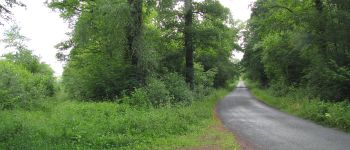
vive la rando en forêt

© OpenStreetMap contributors
Length
Length
14.8 km
Max alt
Max alt
119 m
Uphill gradient
Uphill gradient
219 m
Km-Effort
Km-Effort  
17.7 km
Min alt
Min alt
43 m
Downhill gradient
Downhill gradient
219 m
Boucle
Boucle
Yes
Creation date :
2019-08-24 05:28:32.0
Updated on :
2020-11-10 13:50:45.202

(1 Reviews)

Walking
Walking
4h49
Difficulty : Very difficult

Scan this QR Code to open this trail in the SityTrail application

FREE GPS app for hiking

Logo SityTrail SityTrail

IGN / Geographical institutes

Download SityTrail from the App Store Download SityTrail from Google Play

Logo SityTrail SityTrail World

The world is yours!

Download SityTrail from the App Store Download SityTrail from Google Play Download SityTrail on Huawei AppGallery

About

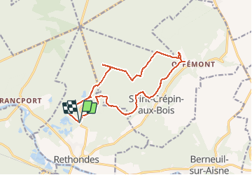
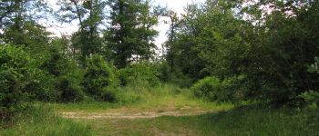
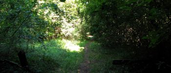
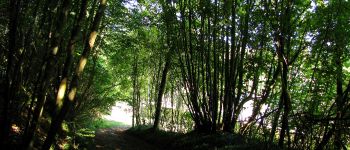
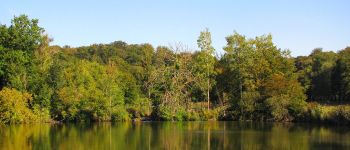
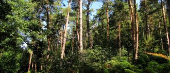
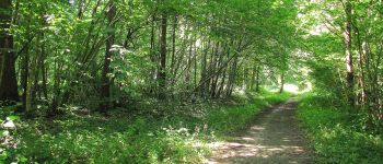
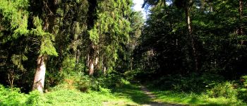
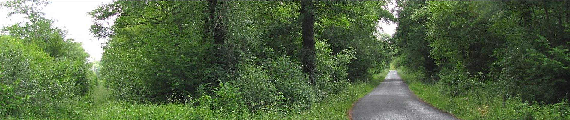
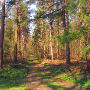
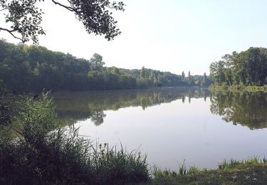
Trail Walking of 14.8 km to be discovered at Hauts-de-France, Oise, Rethondes. This trail is proposed by en forêt de Laigue.

Description

08/ 2019

voir aussi :

batterie de recharge pour iphone obligatoire.

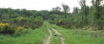
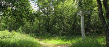
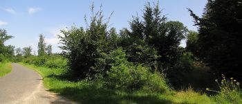
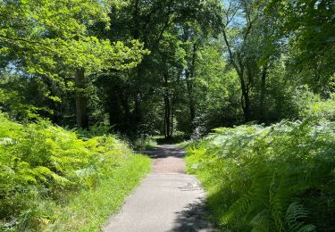
warning: entre la carrefour du Ru des Lois et le carrefour du Vivier de Grès (Route du Ru des Lois), marche très difficile: herbes hautes, herbes aquatiques, ronces, trous cachés par la végétation avec eaux (500 m en 35 mn!). Un bâton n'est pas de trop. Je pense que l'hiver, ce n'est pas mieux car les fossés doivent être remplis d'eau.

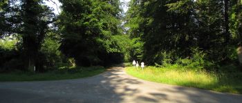
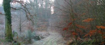
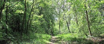
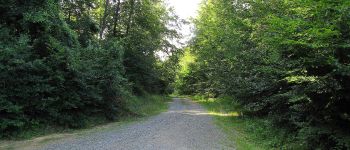
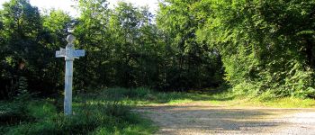
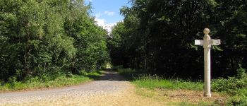
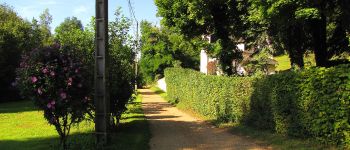
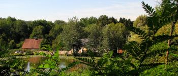
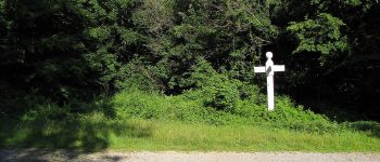
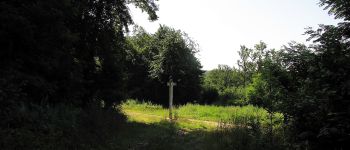
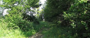
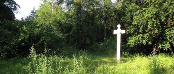
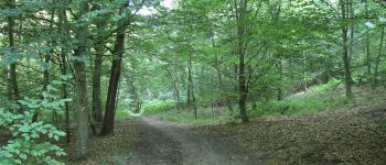
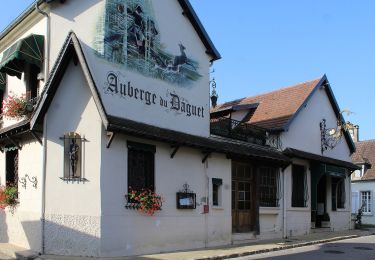
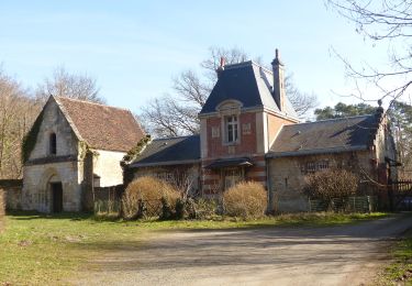
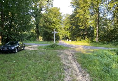
Au départ du carrefour de Rethondes, suivre la Route du Fouilleux jusqu'au carrefur du Fouilleux. Prendre à droite la Route du Ru des Lois jusqu'au carrefour du Vivier du Grès.  Prendre à gauche la Route de la Belle Assise puis tourner à droite dans la Route Forestière des Princesses. Continuer jusqu'au carrefour du Double. A gauche dans la Route de la Fontaine Roch, j'ai voulu faire des photos d'une passerelle (Ru de la Fontaine Roch): elle n'existe plus. Revenir sur ces pas et continuer sur la Route de la Fontaine Roch jusqu'au carrefour de Diane. Continuer tout droit jusqu'au carrefour de Saint-Crépin.  Tourner à gauche pour rejoindre la Route D'Offémont puis à droite sur cette route pour aller au carrefour sans nom.  Tourner à gauche dans la Route de Briançon puis à droite dans le chemin qui conduit au carrefour du Goulvent. Continuer jusqu'à la Route Forestière de Sainte-Croix. La suivre à droite pour arriver à l'Abbaye de Sainte-Croix (clos de mur). Passer devant l'étang et suivre le GR12A-GR655 jusqu'à la Route d'Offémont. Quitter les GR pour suivre à gauche le Chemin du Jeu d'Arc. A son extrémité, tourner à gauche dans le Chemin de Briançon. Le suivre jusqu'au carrefour de Briançon. Suivre le Chemin Rural de Saint-Crépin à Rethondes jusqu'au carrefour des Dix-Sept Frères. Prendre à droite la Route du Mont des Singes et aller jusqu'au carrefour avec la Route de l'Aurore. La suivre à gauche jusqu'au carrefour du Mont des Singes. Prendre la Route du Grand Octogone jusqu'au prochain carrefour avec un sentier sans nom. Tourner à gauche  et continuer jusqu'au prochain carrefour avec un sentier sans nom et tourner à droite pour joindre la route qui mène au carrefour de Rethondes.
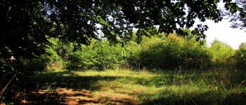
Elevation profile

Points of interest

Point of interest Rethondes - Point 2 - Photo
JeanLucA4
RETHONDES 
Point of interest Rethondes - Point 4 - Photo
JeanLucA4
RETHONDES 
Point of interest Rethondes - Point 5 - Photo
JeanLucA4
RETHONDES 
Point of interest Rethondes - Point 2 - Photo
JeanLucA4
RETHONDES 
Point of interest Saint-Crépin-aux-Bois - Point 7 - Photo
JeanLucA4
SAINT-CRÉPIN-AUX-BOIS 
Point of interest Saint-Crépin-aux-Bois - Point 7 - Photo
JeanLucA4
SAINT-CRÉPIN-AUX-BOIS 
Point of interest Saint-Crépin-aux-Bois - Point 36 - Photo
JeanLucA4
SAINT-CRÉPIN-AUX-BOIS 
Point of interest Saint-Crépin-aux-Bois - Point 24 - Photo
JeanLucA4
SAINT-CRÉPIN-AUX-BOIS 
Point of interest Saint-Crépin-aux-Bois - Point 23 - Photo
JeanLucA4
SAINT-CRÉPIN-AUX-BOIS 
Point of interest Saint-Crépin-aux-Bois - Point 22 - Photo
JeanLucA4
SAINT-CRÉPIN-AUX-BOIS 
Point of interest Saint-Crépin-aux-Bois - Point 20 - Photo
JeanLucA4
SAINT-CRÉPIN-AUX-BOIS 
Point of interest Saint-Crépin-aux-Bois - Point 19 - Photo
JeanLucA4
SAINT-CRÉPIN-AUX-BOIS 
Point of interest Saint-Crépin-aux-Bois - Point 13 - Photo
JeanLucA4
SAINT-CRÉPIN-AUX-BOIS 
Point of interest Saint-Crépin-aux-Bois - Point 14 - Photo
JeanLucA4
SAINT-CRÉPIN-AUX-BOIS 
Point of interest Saint-Crépin-aux-Bois - Point 15 - Photo
JeanLucA4
SAINT-CRÉPIN-AUX-BOIS 
Point of interest Saint-Crépin-aux-Bois - Point 16 - Photo
JeanLucA4
SAINT-CRÉPIN-AUX-BOIS 
Point of interest Saint-Crépin-aux-Bois - Point 17 - Photo
JeanLucA4
SAINT-CRÉPIN-AUX-BOIS 
Point of interest Saint-Crépin-aux-Bois - Point 25 - Photo
JeanLucA4
SAINT-CRÉPIN-AUX-BOIS 
Point of interest Rethondes - Point 27 - Photo
JeanLucA4
RETHONDES 
Point of interest Saint-Crépin-aux-Bois - Point 20 - Photo
JeanLucA4
SAINT-CRÉPIN-AUX-BOIS 
Point of interest Saint-Crépin-aux-Bois - Point 27 - Photo
JeanLucA4
SAINT-CRÉPIN-AUX-BOIS 
Point of interest Saint-Crépin-aux-Bois - Point 28 - Photo
JeanLucA4
SAINT-CRÉPIN-AUX-BOIS 
Point of interest Rethondes - Point 22 - Photo
JeanLucA4
RETHONDES 
Point of interest Rethondes - Point 23 - Photo
JeanLucA4
RETHONDES 
Point of interest Rethondes - Point 24 - Photo
JeanLucA4
RETHONDES 
Point of interest Rethondes - Point 25 - Photo
JeanLucA4
RETHONDES 
Point of interest Rethondes - Point 30 - Photo
JeanLucA4
RETHONDES 

Positioning

Country:
France
Region :
Hauts-de-France
Department/Province :
Oise
Municipality :
Rethondes
Location:
Unknown
Start:(UTM)
495792 ; 5475048 (31U) N.

Comments

Please log in to post a review or rate the element


Trails nearby

Trail Walking Choisy-au-Bac - en forêt de Laigue_9_06_2020_Chemin du Fau Bidaud et la Route de Royaumont - Photo
Walking

Walking

Very difficult
(1)
Choisy-au-Bac, Hauts-de-France, Oise, France
9.6 km | 12.8 km-effort
3h 0min
Yes
Trail Walking Vieux-Moulin - Rando douce Vieux moulin 14/8/2022 - Photo
Walking
pascha

Walking

Medium
(1)
Vieux-Moulin, Hauts-de-France, Oise, France
8.7 km | 10.1 km-effort
2h 14min
Yes
Trail Walking Compiègne - Compiegne rond point de l’Armistice 13,4 km - Photo
Walking
GUIDE
rvapeldo

Walking

Easy
Compiègne, Hauts-de-France, Oise, France
13.4 km | 17.5 km-effort
3h 36min
Yes
Trail Walking Compiègne - en forêt de Compiègne_47_autour des Beaux Monts - Photo
Walking

Walking

Medium
Compiègne, Hauts-de-France, Oise, France
4.8 km | 6.4 km-effort
1h 27min
No
Trail On foot Trosly-Breuil - Le Mont-Collet - Photo
On foot
PRO

On foot

Easy
Trosly-Breuil, Hauts-de-France, Oise, France
4.9 km | 6.6 km-effort
1h 29min
Yes
Trail On foot Vieux-Moulin - Promenade de Vieux moulin - Photo
On foot
PRO

On foot

Easy
Vieux-Moulin, Hauts-de-France, Oise, France
5.3 km | 7.4 km-effort
1h 40min
Yes
Trail On foot Compiègne - Promenade du Point de Vue des beaux Monts - Photo
On foot
PRO

On foot

Easy
Compiègne, Hauts-de-France, Oise, France
3.1 km | 3.8 km-effort
51min
Yes
Trail Walking Rethondes - en forêt de Laigue_15_07_2021_autour du Mont du Fouilleux et du Mont des Singes - Photo
Walking

Walking

Difficult
Rethondes, Hauts-de-France, Oise, France
11.3 km | 14.6 km-effort
3h 24min
Yes
Trail Walking Vieux-Moulin - en foret de Compiègne_38_07_2021_sur la Route Eugénie - Photo
Walking

Walking

Easy
Vieux-Moulin, Hauts-de-France, Oise, France
13.6 km | 15.5 km-effort
4h 6min
Yes


Close
My subscriptions