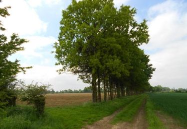
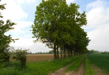
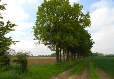
Trail On foot Gaillefontaine - Sur les hauteurs de Gaillefontaine - Photo

Sur les hauteurs de Gaillefontaine

 sebcar
sebcar

User

© OpenStreetMap contributors
Length
Length
11.2 km
Max alt
Max alt
246 m
Uphill gradient
Uphill gradient
156 m
Km-Effort
Km-Effort  
13.2 km
Min alt
Min alt
169 m
Downhill gradient
Downhill gradient
156 m
Boucle
Boucle
Yes
Creation date :
2019-08-24 14:44:12.746
Updated on :
2019-08-24 14:47:43.184

(0 Reviews)

On foot
On foot
--
Difficulty : Very easy

Scan this QR Code to open this trail in the SityTrail application

FREE GPS app for hiking

Logo SityTrail SityTrail

IGN / Geographical institutes

Download SityTrail from the App Store Download SityTrail from Google Play

Logo SityTrail SityTrail World

The world is yours!

Download SityTrail from the App Store Download SityTrail from Google Play Download SityTrail on Huawei AppGallery

About

Trail On foot of 11.2 km to be discovered at Normandy, Seine-Maritime, Gaillefontaine. This trail is proposed by sebcar.

Elevation profile

Points of interest

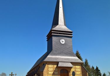
Point of interest Gaillefontaine - Place de la Mairie - Photo
sebcar
GAILLEFONTAINE 
Point of interest Gaillefontaine - D919 - Photo
sebcar
GAILLEFONTAINE 
Point of interest Gaillefontaine - Allée de France - Photo
sebcar
GAILLEFONTAINE 
Point of interest Haucourt - Impasse du Clos Cagnard - Photo
sebcar
Point of interest Haucourt - D129 Pont SNCF - Photo
sebcar
HAUCOURT 
Point of interest Gaillefontaine - D135 - Photo
sebcar
GAILLEFONTAINE 
Point of interest Gaillefontaine - À gauche le Chemin Saint-Christophe - Photo
sebcar
Point of interest Gaillefontaine - Croisement pour l'aller et le retour - Photo
sebcar
Point of interest Gaillefontaine - Route de la chaussée d'Amiens - Photo
sebcar
Point of interest Gaillefontaine - Chemin du château d'eau - Photo
sebcar
GAILLEFONTAINE 
Point of interest Gaillefontaine - Rue aux Juifs - Photo
sebcar
GAILLEFONTAINE 
Point of interest Gaillefontaine - Place de la Mairie - Photo
sebcar
GAILLEFONTAINE 

Positioning

Country:
France
Region :
Normandy
Department/Province :
Seine-Maritime
Municipality :
Gaillefontaine
Location:
Unknown
Start:(UTM)
399996 ; 5501017 (31U) N.

Trails nearby

Trail Equestrian Conteville - La Hallegouche (N° 7) - Conteville - Photo
Equestrian
tracegps

Equestrian

Easy
Conteville, Normandy, Seine-Maritime, France
10.9 km | 11.6 km-effort
1h 30min
Yes
Trail Mountain bike Conteville - La Hallegouche (N° 7) - Conteville - Photo
Mountain bike
tracegps

Mountain bike

Easy
Conteville, Normandy, Seine-Maritime, France
10.9 km | 11.6 km-effort
1h 0min
Yes
Trail Walking Conteville - La Hallegouche (N° 7) - Conteville - Photo
Walking
tracegps

Walking

Medium
Conteville, Normandy, Seine-Maritime, France
10.9 km | 11.6 km-effort
2h 45min
Yes
Trail On foot Conteville - Le Hallegouche - Photo
On foot
PRO

On foot

Easy
Conteville, Normandy, Seine-Maritime, France
10.1 km | 10.8 km-effort
2h 27min
Yes
Trail Cycle Forges-les-Eaux - Boucle Bézu St Eloi via Forges-les-Eaux - Photo
Cycle
alaindurbecq

Cycle

Medium
Forges-les-Eaux, Normandy, Seine-Maritime, France
120 km | 136 km-effort
12h 0min
Yes
Trail On foot Gaillefontaine - gaillefontaine - Photo
On foot
patoches76

On foot

Easy
Gaillefontaine, Normandy, Seine-Maritime, France
9.5 km | 11 km-effort
2h 29min
Yes
Trail On foot Forges-les-Eaux - Forges les eaux 2 - Photo
On foot
maillebreze

On foot

Medium
Forges-les-Eaux, Normandy, Seine-Maritime, France
12.9 km | 14.8 km-effort
3h 0min
Yes
Trail On foot Forges-les-Eaux - forges les eaux - Photo
On foot
maillebreze

On foot

Medium
Forges-les-Eaux, Normandy, Seine-Maritime, France
9.1 km | 10.3 km-effort
3h 20min
Yes
Trail On foot Gaillefontaine - Saint Maurice - Photo
On foot
sebcar

On foot

Easy
Gaillefontaine, Normandy, Seine-Maritime, France
8.8 km | 11 km-effort
Unknown
Yes


Close
My subscriptions