


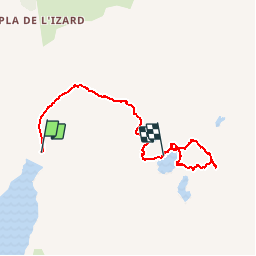


8.3 km | 21 km-effort


User


FREE GPS app for hiking
 SityTrail
IGN / Geographical institutes
SityTrail World
The world is yours!
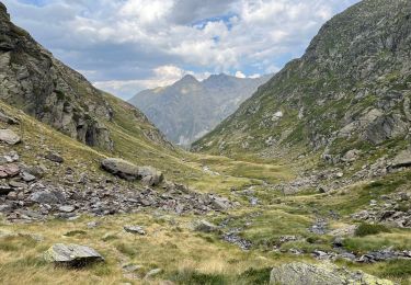
Trail Walking of 6.3 km to be discovered at Occitania, Ariège, Auzat. This trail is proposed by beautrix.
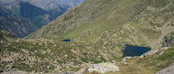
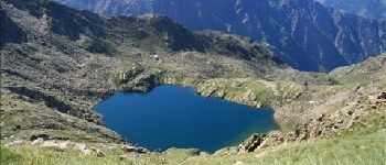
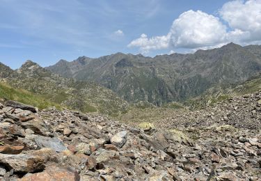
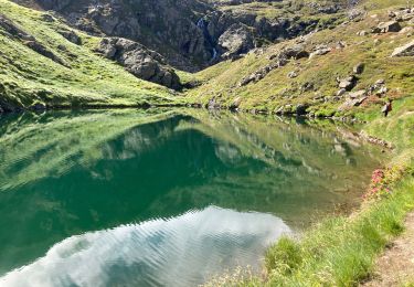
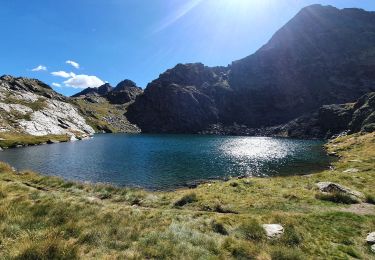
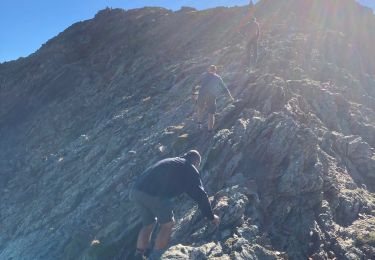
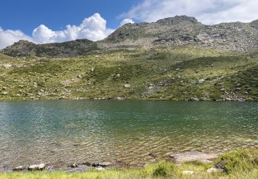
Une belle randonnée, avec un sommet peu couru : le Picot. L'ascension de ce sommet se fait totalement hors sentier, à partir du 3ème étang. Seuls quelques rares cairns sont présents sur la crête.


Walking
Walking
Walking
Walking
Walking
Walking

Walking

On foot